
Topographic map of Japan on your iPhone, Android phone and Apple Watch


Topographic map of Japan
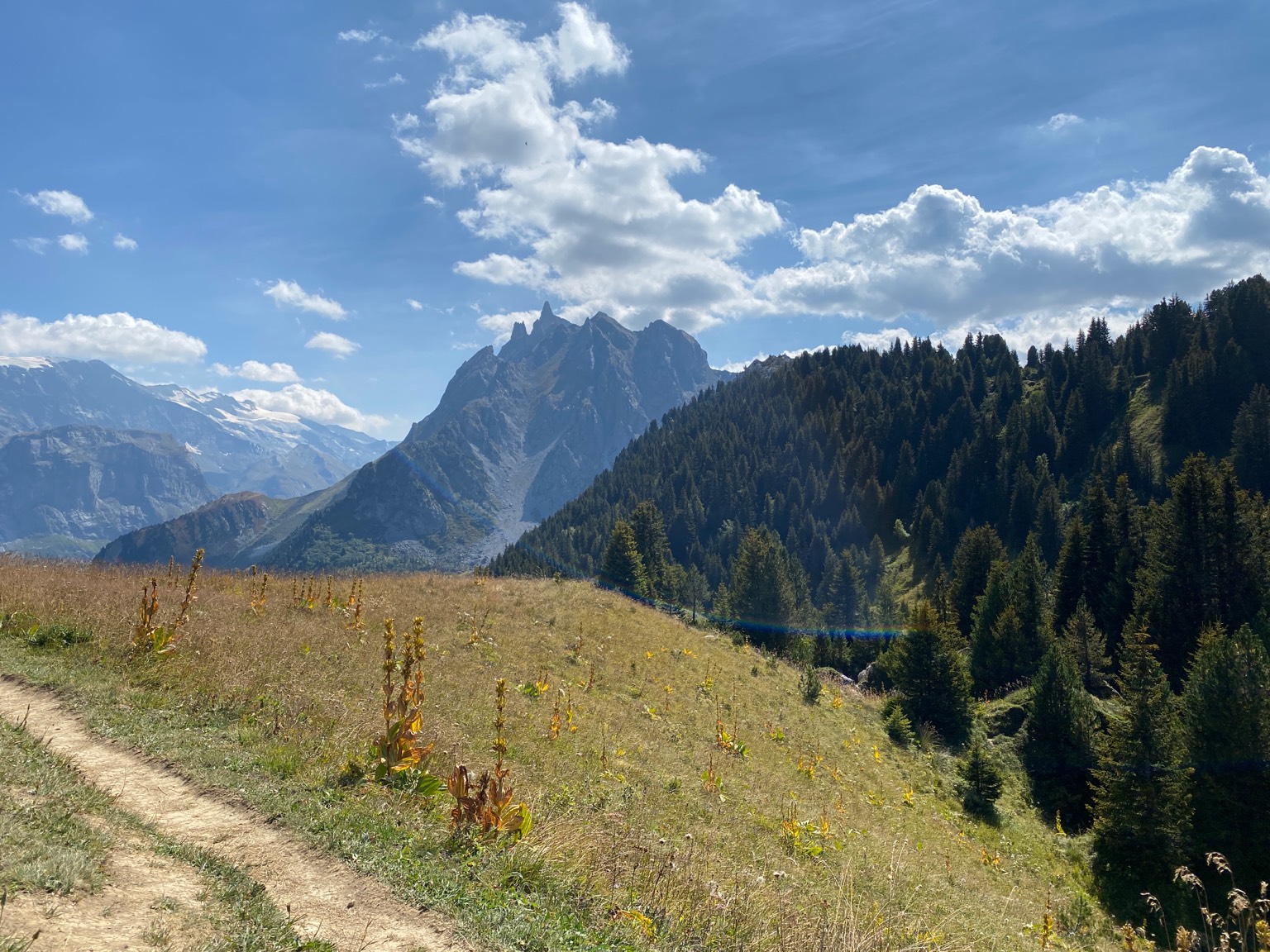
Topo GPS has topographic maps of Japan from the Geospatial Information Authority of Japan (GSI). From the Japan Alps to the ancient trails of the Kii Peninsula, Japan offers world-class mountain hiking.
Download once, use anywhere — no signal needed.
See your exact position on the map as you move.
Record hikes, export GPX and share your tracks.
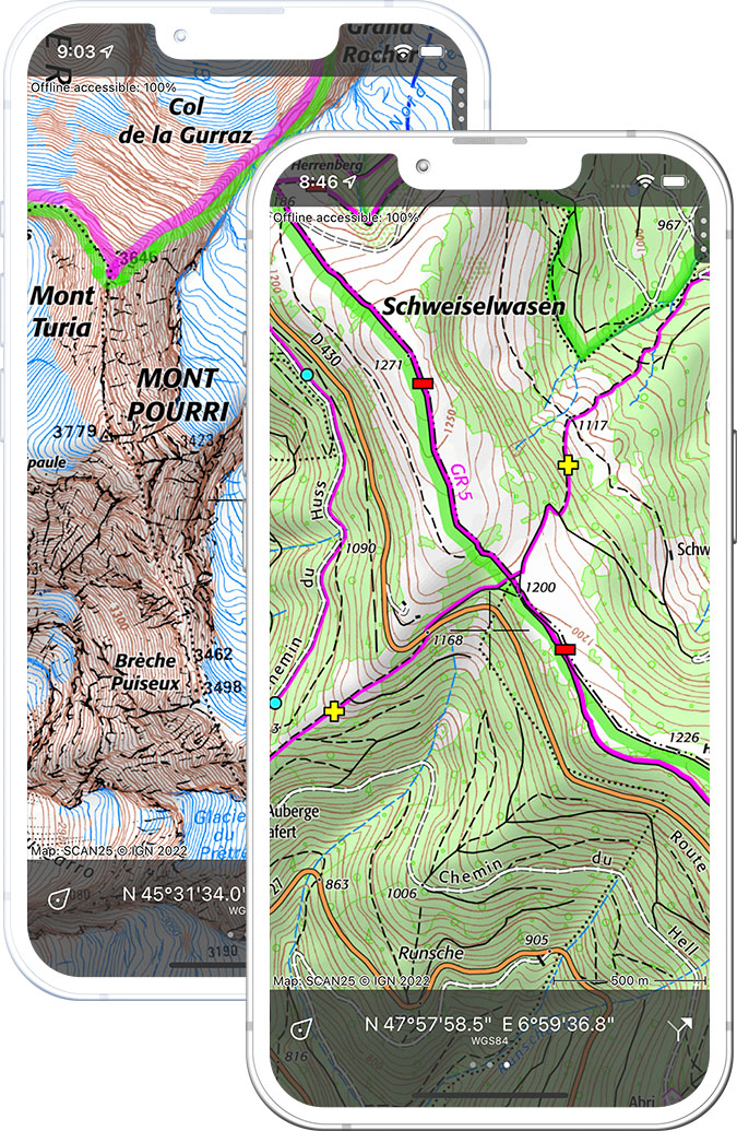
Standard map 1:25,000
Official GSI topographic map of Japan at 1:25,000 scale.
Pricing
One-time purchase¥650 one-time purchase, free lifetime updates included
¥650

Aerial imagery
High-resolution aerial imagery of Japan from GSI.
Pricing
One-time purchase¥650 one-time purchase, free lifetime updates included
¥650
Where to hike in Japan
Japan offers the Japan Alps crossings, Mount Fuji ascent trails, the Kumano Kodo pilgrimage and forest ridge trails on Hokkaido.
Japan’s iconic peak at 3,776 m — four trails lead to the crater rim with sunrise views.
The Northern, Central and Southern Alps ridge traverses with hütte-style mountain huts.
UNESCO World Heritage pilgrimage trails through the ancient cedar forests of the Kii Peninsula.
The Daisetsuzan volcano plateau — Japan’s largest national park and highest peaks.
Sacred forests, waterfalls and the Nantai volcano above the Toshogu shrine.
Ancient cedar forest island — Jomon Sugi tree (7,200 years old) and Mount Miyanoura (1,936 m).
Japan’s largest high-altitude marshland with boardwalk trails through wetlands and beeches.
The Tateyama Kurobe Alpine Route across the 3,000 m Northern Alps.