Topographic map of the Faroe Islands on your iPhone, Android phone and Apple Watch


Best outdoor maps for the Faroe Islands
Official topographic maps are the best outdoor maps for the Faroe Islands.
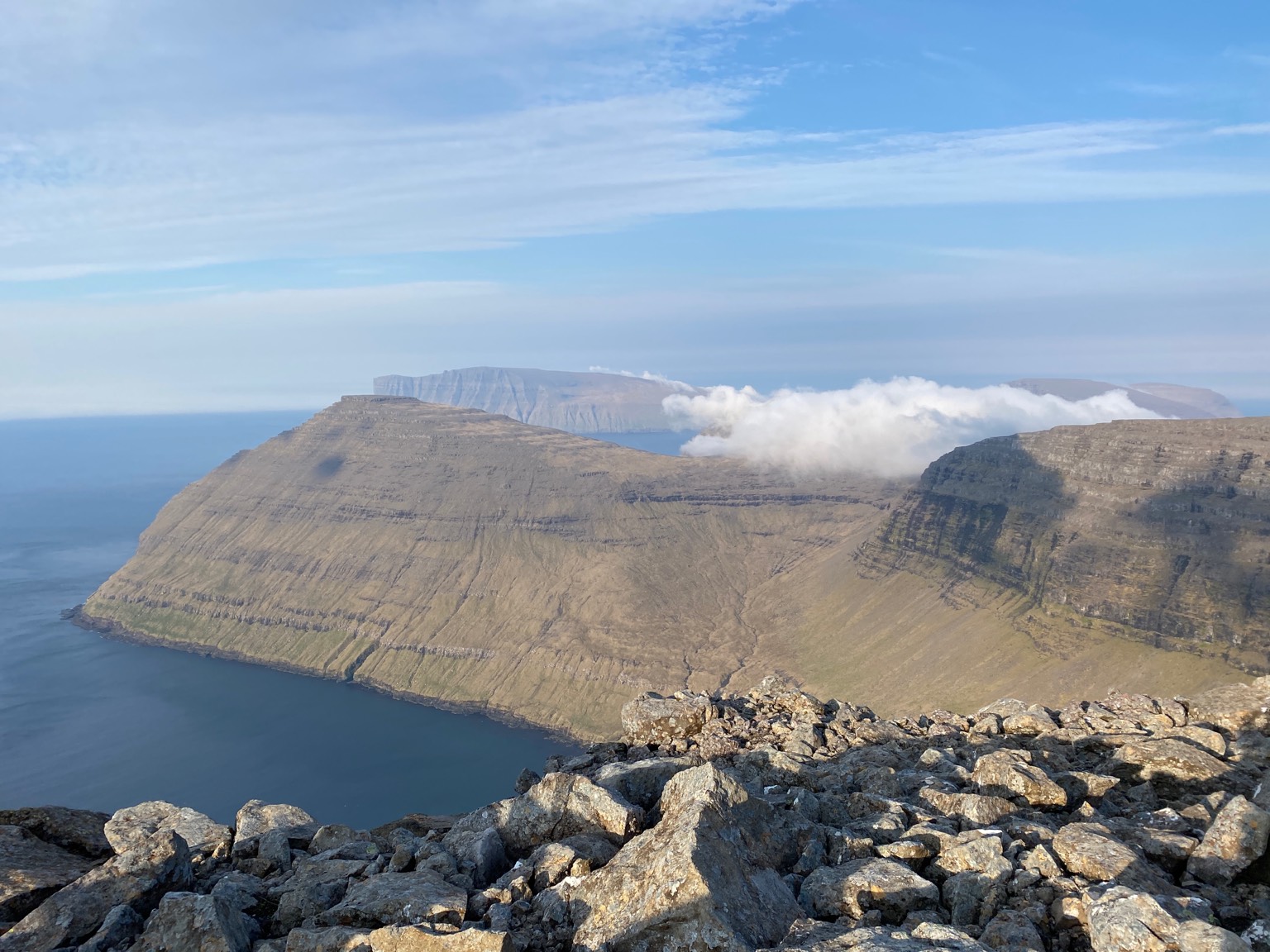
The Faroe Islands, located in the North Atlantic Ocean, is a unique and remote destination that offers a range of outdoor activities. With its rugged terrain, pristine nature, and stunning coastal scenery, the Faroe Islands are perfect for hiking, birdwatching, and fishing.
Hiking is a popular activity on the Faroe Islands, and there are plenty of well-marked trails that offer spectacular views of the dramatic coastline and fjords. The island of Streymoy is home to several popular hiking trails, including the Slættaratindur, which is the highest mountain in the Faroe Islands, and the popular Lake Leitisvatn trail.
Birdwatching is also a popular activity on the Faroe Islands, with several species of birds nesting on the cliffs and rocks along the coast. The island of Mykines is home to thousands of puffins, making it a must-visit destination for bird lovers.
Fishing is another popular activity on the Faroe Islands, with the country’s clean and cold waters offering an abundance of fish such as cod, haddock, and salmon. There are several fishing tours available, and visitors can also try their luck at fishing from the shore or rent a boat for a more immersive experience.
Overall, the Faroe Islands offer a unique and unforgettable outdoor experience for those looking to explore remote and pristine natural beauty. The country’s rugged terrain, stunning coastline, and unique culture make it a must-visit destination for adventure seekers and nature lovers.
Topographic map
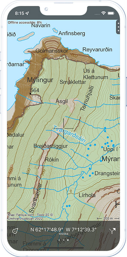
A topographic map contains many details like height contours, small roads and land usage and is thus ideal for navigating outdoors.
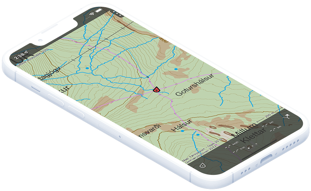
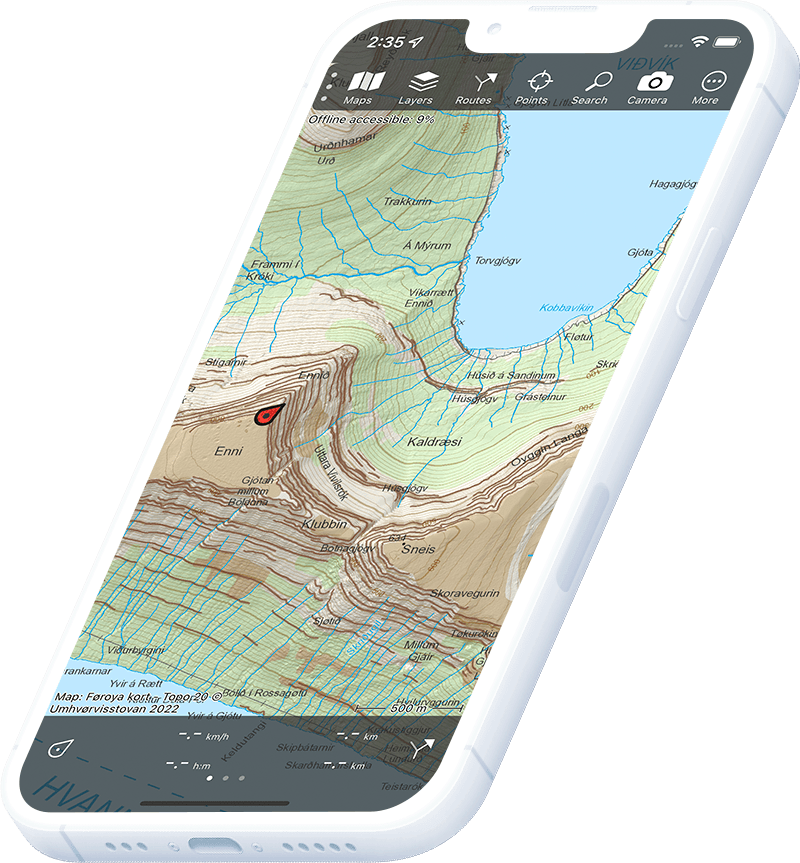
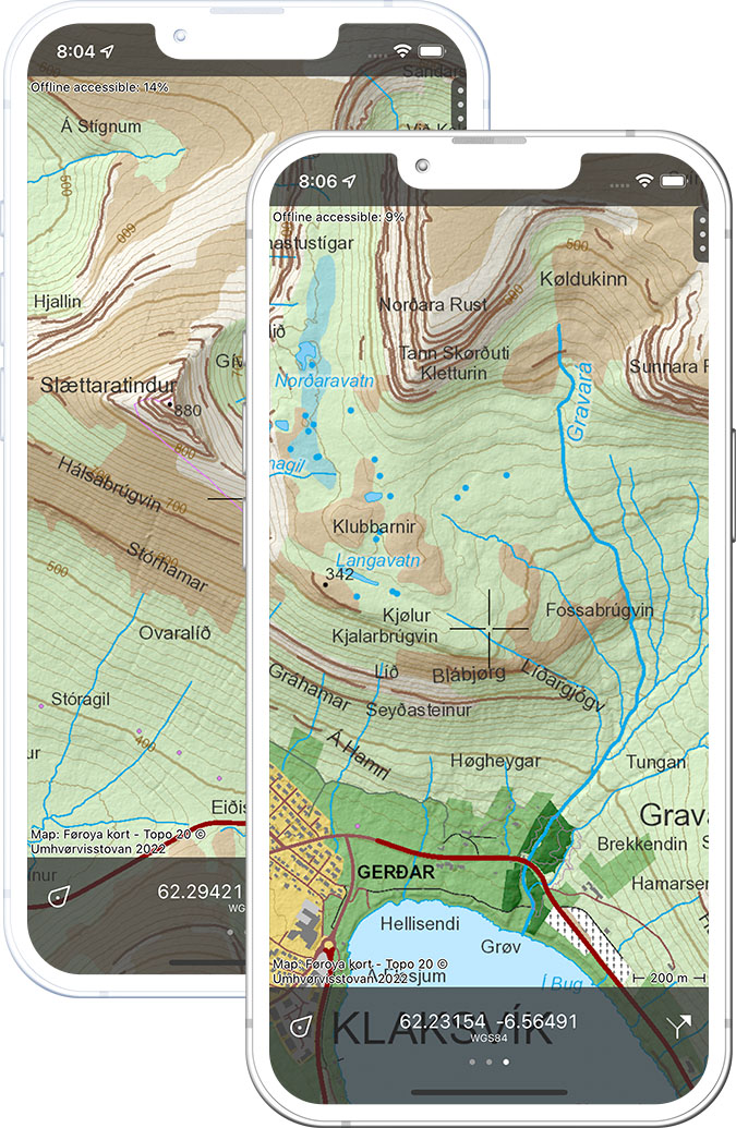
Topo 20
In Topo GPS you can purchase the best topographic map of the Faroe Islands, the official Topo 20 map at scale 1:20,000. This map is produced by Umhvørvisstovan, the enivronment agency of the Faroe Islands.
Pricing
Full access to the complete Topo 20 maps of the Faroe Islands costs €3.99 in Topo GPS. This is a one-time purchase and includes free future upates. The map is available on all devices that use the same Apple ID or Google Play account.
Offline maps
You can make the topographic maps offline available. In this way you are sure that the maps you need are always accessible.
Clear legend
The topographic map has a clear legend with explanations of all symbols.
Topo GPS app
The Topo GPS app offers many additional useful features to the topographic map. Like navigating, loading, planning and following routes and adding points to the map. Topo GPS contains all functions of a regular GPS device.
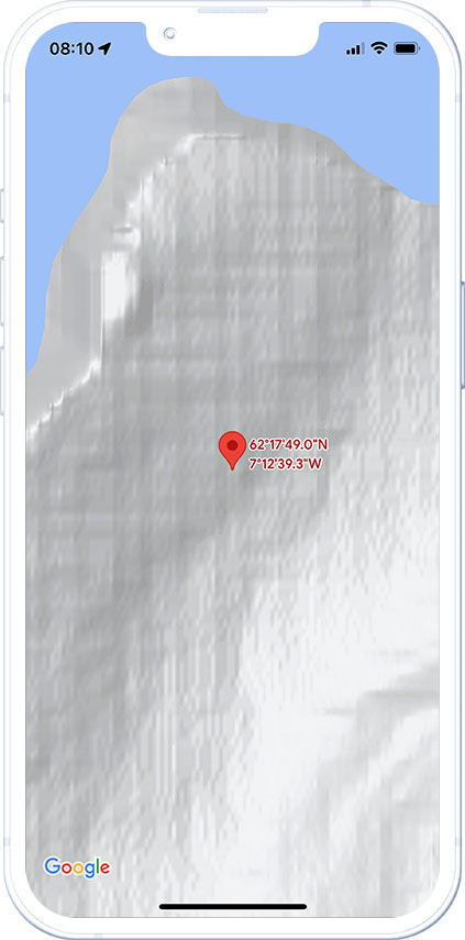
Which map would you prefer to explore the outdoors?
Compare yourself
Google maps
OpenStreetMap
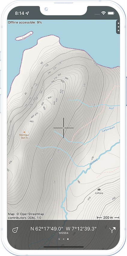
Topographic map
Turn your iPhone, Android phone or tablet into a full featured GPS device with offline available topographic maps.