
Topographic map of Belgium on your iPhone, Android phone and Apple Watch


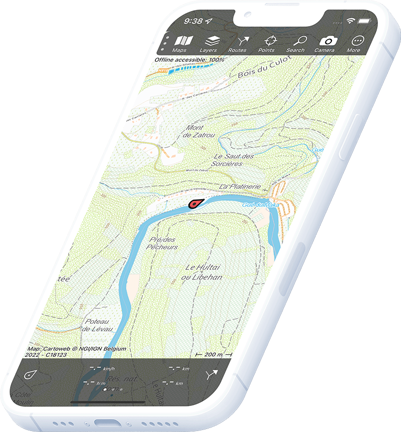
Topographic map of Belgium
Topo GPS has topographic maps of Belgium from NGI. Belgium’s compact Ardennes highlands, Meuse valley and coast offer diverse hiking and cycling routes.
Download once, use anywhere — no signal needed.
See your exact position on the map as you move.
Record hikes, export GPX and share your tracks.
Belgian topo 1:20,000 (full subscription)
Full subscription to the official Belgian topographic map at 1:20,000 scale from NGI.
Pricing
Annual subscription€13.99/year, free trial included
€13.99/yr
Belgian topo (regional purchase)
Buy individual regions of the Belgian 1:20,000 topo map as a one-time purchase.
Pricing
One-time purchaseFrom €0.99 per region
€0.99+
Where to hike in Belgium
Belgium offers Ardennes forest hiking, the High Fens plateau, scenic Meuse valley trails and the dune-fringed North Sea coast.
Belgium’s highlands — forested plateau, river gorges and the Signal de Botrange (694 m).
UNESCO High Fens plateau — peat bogs, heathland and the highest point in Belgium.
The scenic river gorge between Dinant and Namur.
The cave of Han-sur-Lesse and the Lesse river meanders through the Famenne depression.
Sand dunes, polders and the Westhoek nature reserve along Belgium’s 67 km North Sea coast.
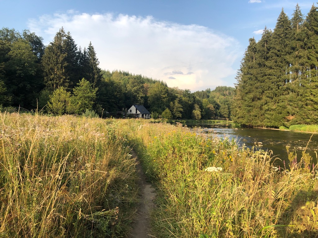
Remote wooded valley in the Belgian Ardennes.
Polders, windmills and canal paths around the medieval city of Bruges.
Tumbling river valley north of La Roche-en-Ardenne.