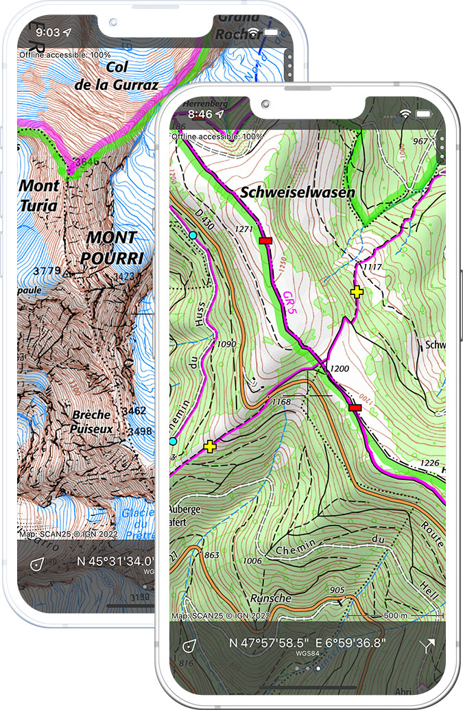
Topographic map of France
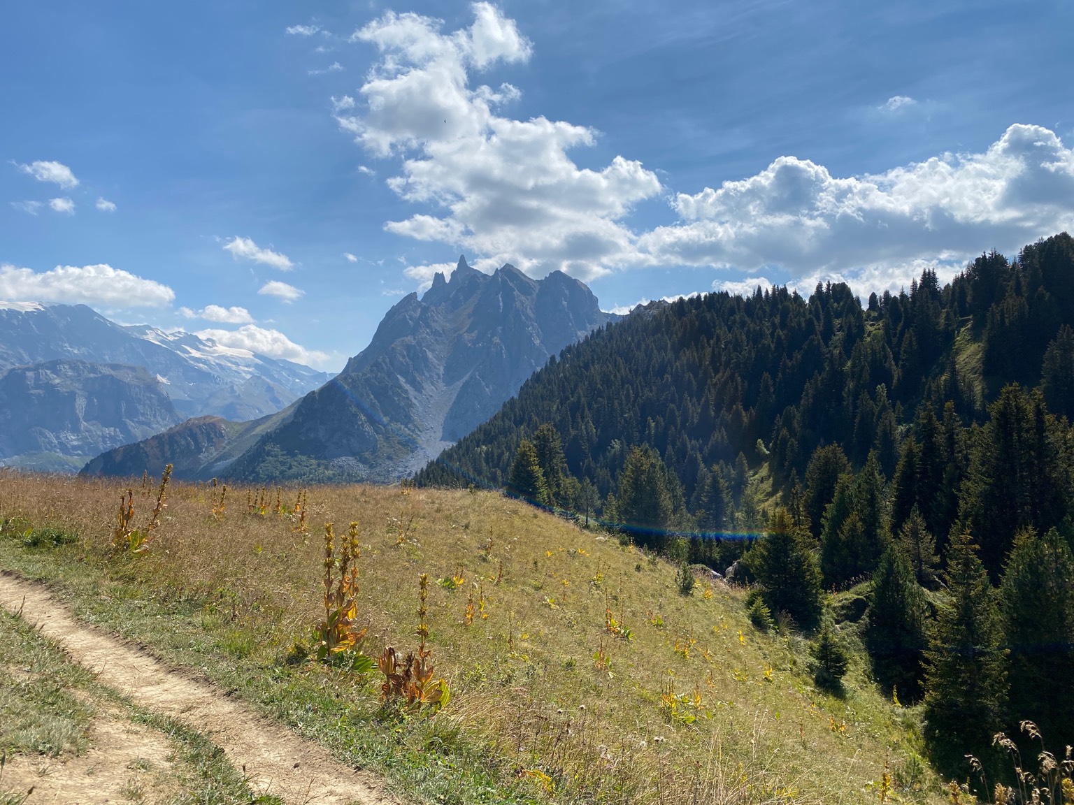
 on your iPhone, Android phone and Apple Watch

External image
External image
External image

Best outdoor maps of France

Official IGN topographic maps are the best outdoor maps for France.

France is a country of vast and diverse landscapes, offering endless opportunities for outdoor activities. From the rugged mountains of the Alps and Pyrenees to the stunning coastline of the Côte d’Azur, there’s something for everyone in France’s great outdoors.

Hiking is a popular activity in France, with over 100,000 km of well-maintained trails that take visitors through some of the country’s most beautiful landscapes. The GR20, for example, is a challenging 180 km long trail that runs through the mountains of Corsica, offering stunning views of the Mediterranean Sea. Other popular hiking destinations include the Mercantour National Park in the French Alps and the Gorges du Verdon in Provence.

Cycling is also a popular activity in France, with numerous scenic cycle routes that take visitors through some of the country’s most beautiful regions. The Loire Valley, for example, is a popular destination for cycling, offering over 800 km of cycle routes that take visitors through picturesque villages and stunning chateaux.

In the winter, France is a popular destination for skiing and snowboarding, with numerous world-class ski resorts in the French Alps and Pyrenees. The Three Valleys ski area, for example, is one of the largest ski areas in the world, offering over 600 km of slopes to explore. Cross-country skiing is also popular in France, with several well-maintained trails available for visitors to enjoy.

France’s stunning coastline also offers plenty of opportunities for water sports such as surfing, windsurfing, and kiteboarding. The Côte d’Azur, for example, is a popular destination for windsurfing and kiteboarding, with strong winds and calm waters.

Overall, France’s diverse landscapes, rich history, and well-developed infrastructure make it a must-visit destination for outdoor enthusiasts. Whether it’s hiking, cycling, skiing, or water sports, there’s always something to do in France’s great outdoors.

Appset image
Topographic map

A topographic map contains many details like height contours, small roads and land usage and is thus ideal for navigating outdoors.

IGN

In the Topo GPS app you can purchase the best topographic maps of France, the SCAN 25 1:25,000 maps of IGN. Topo GPS is an official partner IGN, the national mapping agency of France.

Pricing

SCAN25 topographic maps of France costs €0.99 for 4 squares of 4 x 4 km which you can choose. It is also possible to purchase a yearly subscription to whole France for €19.99.

Offline maps

You can make the topographic maps offline available. In this way you are sure that the maps you need are always accessible.

Clear legend

The topographic map has a clear legend with explanations of all symbols.

Topo GPS app

The Topo GPS app offers many additional useful features to the topographic map. Like navigating, loading, planning and following routes and adding points to the map. Topo GPS contains all functions of a regular GPS device.

Which map would you prefer to explore the outdoors?

Compare yourself

Google maps

Appset image

OpenStreetMap

Appset image

Topographic map

Appset image

Topo GPS

Turn your iPhone, Android phone or tablet into a full featured GPS device with offline available topographic maps.

External image
External image
External image