
Sweden is a country of immense natural beauty, with a wide range of outdoor activities to enjoy throughout the year. From hiking and cycling to skiing and ice fishing, there’s always something to do in Sweden’s great outdoors.
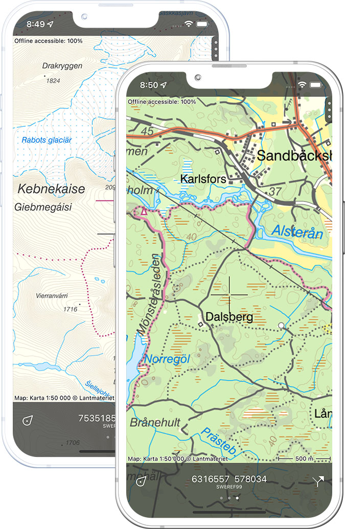
Hiking is one of the most popular outdoor activities in Sweden, and there are numerous well-marked trails that take visitors through the country’s stunning forests, mountains, and coastal regions. Some of the most popular hiking destinations include the Kungsleden trail in Lapland, which stretches for over 400 km through the northern wilderness, and the Skuleskogen National Park on the High Coast, which offers stunning views of the Baltic Sea.
Cycling is another popular activity in Sweden, with numerous bike-friendly cities and scenic cycle routes that take visitors through some of the country’s most beautiful landscapes. The Kattegattleden, for example, is a 400 km long cycle route that runs along Sweden’s west coast, offering stunning views of the sea and the countryside.
In the winter, Sweden is a popular destination for skiing and other winter sports. There are several world-class ski resorts, including Åre, one of the largest and most popular ski resorts in Scandinavia. Cross-country skiing, also known as langlaufing, is a popular activity in Sweden, with over 3,000 km of well-groomed trails to explore.
Sweden’s numerous lakes and rivers also offer plenty of opportunities for water sports such as kayaking, canoeing, and fishing. In the summer, visitors can take a dip in the refreshing waters, while in winter, ice fishing is a popular activity.
Overall, Sweden’s natural beauty, diverse outdoor activities, and well-developed infrastructure make it a must-visit destination for adventure seekers and nature lovers. Whether it’s hiking, cycling, skiing, or fishing, there’s always something to do in Sweden’s great outdoors.