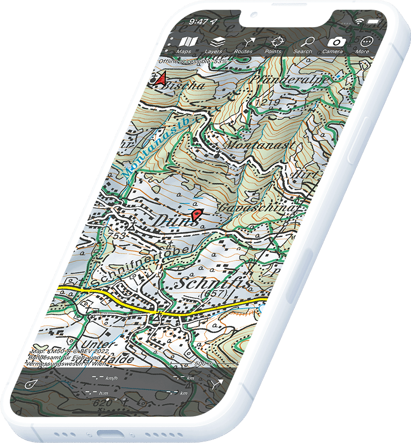
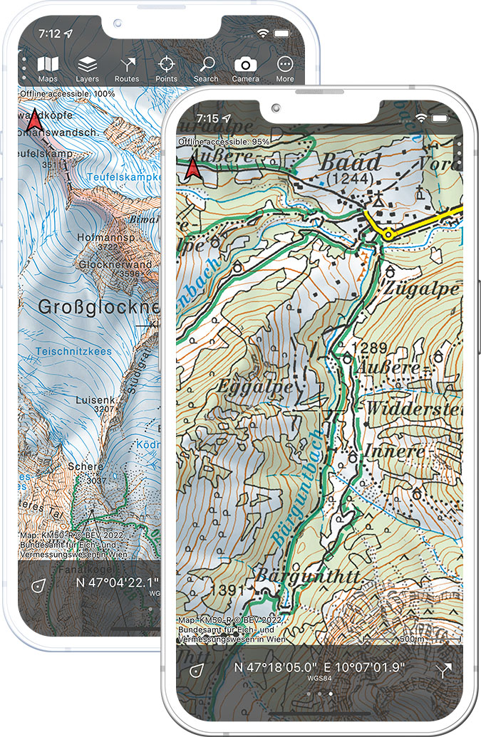
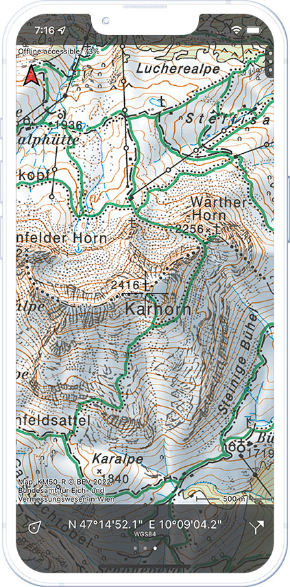
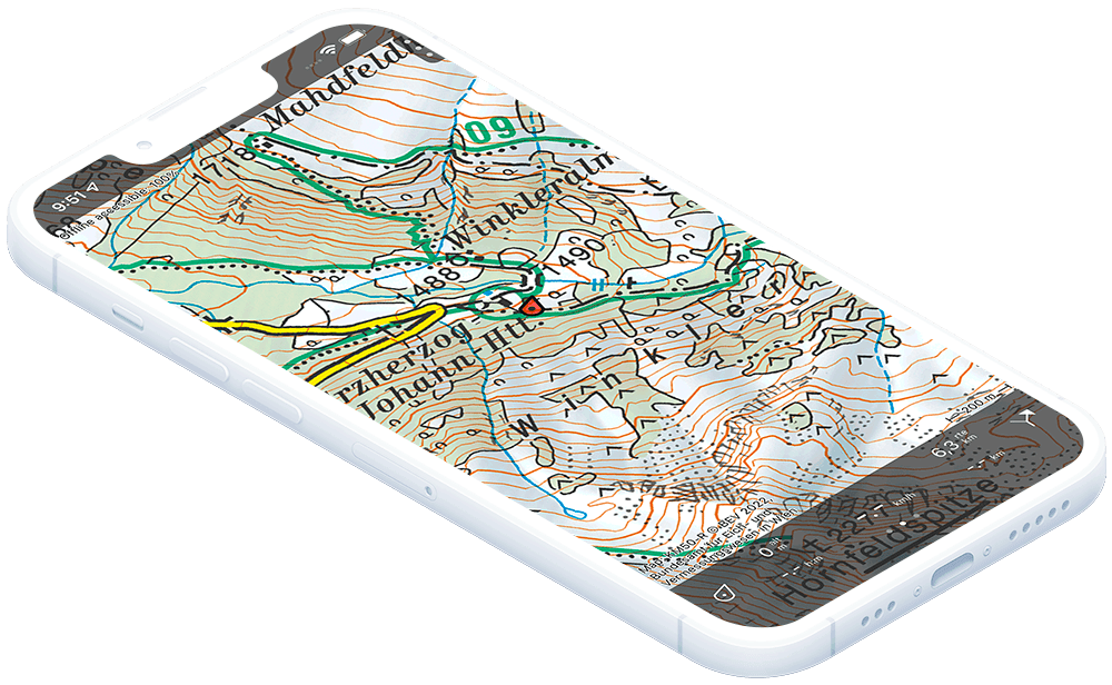
Topo GPS has dedicated topographic Austrian maps that make your phone a GPS device to do any outdoor activity. From hiking to skiing. Austria is known for its stunning alpine landscapes, making it a popular destination for outdoor activities. Skiing and snowboarding are some of the most popular activities in Austria, with world-class ski resorts such as St. Anton, Ischgl, and Kitzbühel attracting visitors from all over the world. The ski season usually runs from December to April, and the country boasts over 5,000 kilometers of slopes for all skill levels.
In the warmer months, hiking is a popular activity in Austria, with miles of trails to explore in the Alps and other mountainous regions. There are trails for all abilities, from easy walks through lush meadows to challenging treks up steep mountain peaks. Some popular hiking destinations include the Salzkammergut Lake District, the Grossglockner High Alpine Road, and the Hohe Tauern National Park.
Mountain biking is another popular outdoor activity in Austria, with a variety of trails and terrain to suit all levels of skill and fitness. The Tirol region is particularly renowned for its mountain biking trails, with challenging descents and scenic views. Other popular destinations include the Danube Cycle Path and the Lake Neusiedl Bike Trail.
For those looking for a more relaxing outdoor experience, Austria is also home to many picturesque lakes and rivers, where visitors can swim, boat, and fish. The Salzkammergut region is home to many scenic lakes, while the Danube and Inn rivers offer opportunities for water sports.
Overall, Austria offers a wide range of outdoor activities for visitors to enjoy, from skiing and snowboarding to hiking and mountain biking. With its stunning alpine landscapes and natural beauty, there is always something new and exciting to discover in the great outdoors of Austria.
With the maps created by the BEV (Bundesamt für Eich- und Vermessungswesen), Kataster Service you are able to explore all of the Austrian outdoor destinations with confidence and also without internet :-).


