
Topographic map of Germany on your iPhone, Android phone and Apple Watch


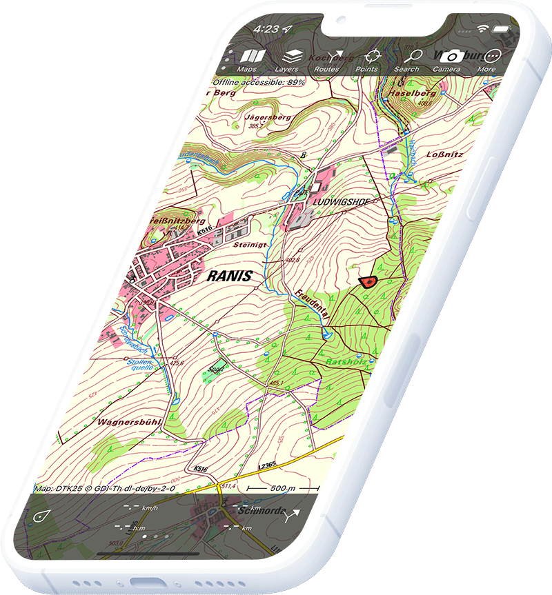
Topographic map of Germany
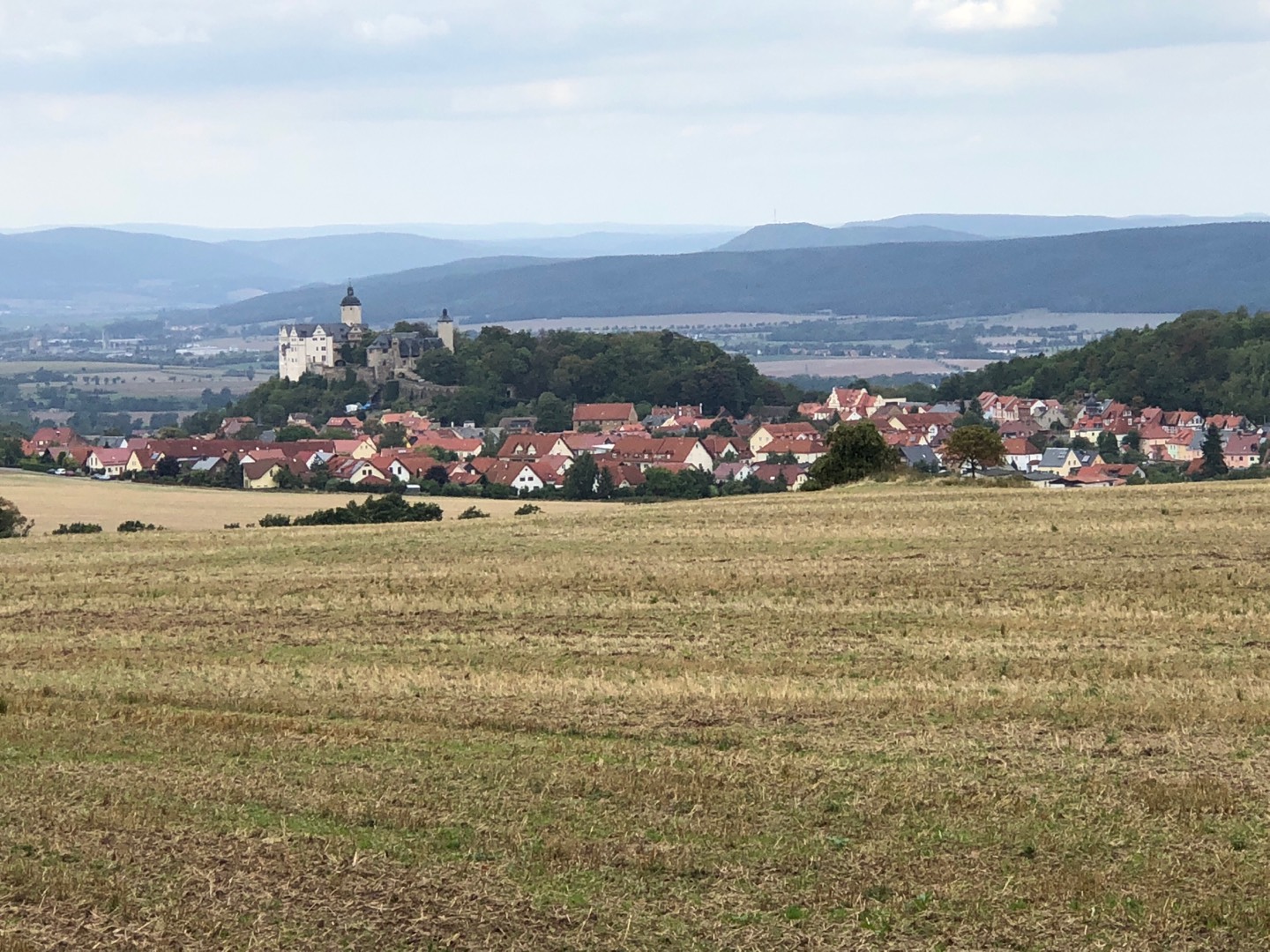
Topo GPS has topographic maps of Germany from federal and state surveying agencies. From the Bavarian Alps to the Harz, the Black Forest and the Baltic coast, Germany offers excellent hiking.
Download once, use anywhere — no signal needed.
See your exact position on the map as you move.
Record hikes, export GPX and share your tracks.
DTK25 1:25,000
Official German topographic map at 1:25,000 scale from BKG.
Pricing
One-time purchase€3.99 one-time purchase, free lifetime updates included
€3.99
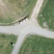
Bayern aerial
High-resolution aerial imagery of Bavaria.
Pricing
IncludedIncluded with DTK25 purchase
Included
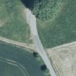
Nordrhein-Westfalen aerial
Aerial imagery of North Rhine-Westphalia.
Pricing
One-time purchase€1.99 one-time purchase
€1.99
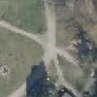
Sachsen aerial
Aerial imagery of Saxony.
Pricing
One-time purchase€3.99 one-time purchase
€3.99
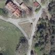
Brandenburg aerial
Aerial imagery of Brandenburg/Berlin.
Pricing
One-time purchase€3.99 one-time purchase
€3.99
Mecklenburg-Vorpommern aerial
Aerial imagery of Mecklenburg-Vorpommern.
Pricing
IncludedIncluded with DTK25 purchase
Included

Schleswig-Holstein aerial
Aerial imagery of Schleswig-Holstein.
Pricing
One-time purchase€3.99 one-time purchase
€3.99
Where to hike in Germany
Germany offers Bavarian Alps ridge walking, Black Forest trails, the Rheinsteig, Harz highland hiking and the Baltic coastal paths.
The Zugspitze (2,962 m) and the König Ludwig Way.
Dense coniferous highlands — the Westweg and Feldberg (1,493 m).
Ancient rounded highlands — the Brocken (1,141 m) and the Hexenstieg trail.
The Rheinsteig long-distance path along the Middle Rhine UNESCO World Heritage gorge.
The Rennsteig ridge trail across the forested heart of Thuringia.
Rügen chalk cliffs, Usedom dunes and the Ostseeküstenradweg coastal hiking path.
Volcanic lakes, ancient calderas and the Eifelsteig trail.
Alpine national park on the Austrian border — the Königssee and Watzmann (2,713 m).