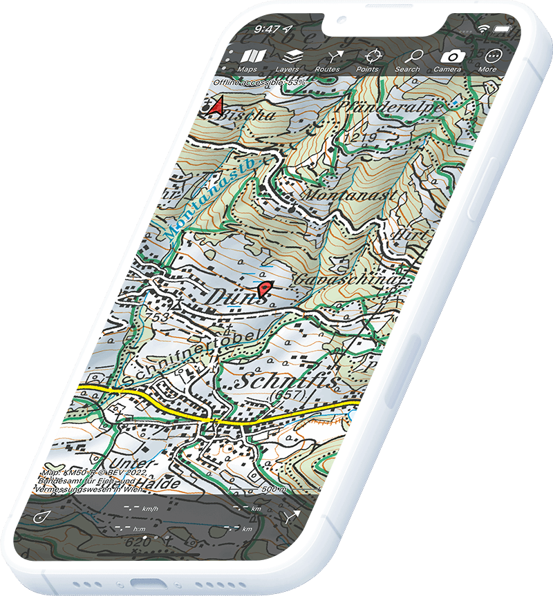
Mountain bike routes directly shown on the topographic maps

External image

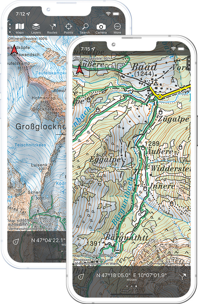
Best outdoor maps for Austria

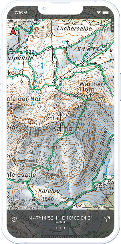
Official topographic maps are the best outdoor maps for Austria.

Having a vast range of European mountain bike routes accessible on your phone offers numerous benefits for mountainbikers. It allows riders to explore new trails in Netherlands, Germany, France and other European countries without the worry of getting lost, providing a seamless and enjoyable riding experience. With detailed maps and elevation profiles the mountain bike routes ensures a challenging yet rewarding outdoor experience every time.

With this valuable information at their fingertips, cyclists can confidently venture into unfamiliar areas while staying connected and secure. Overall, having mountain bike routes on your phone revolutionizes the way riders approach their adventures, maximizing their time on the trails while ensuring a sense of safety and exploration.
Appset image
Comprehensive

Set of mountainbike routes all over Europe. They can easily be displayed on the topographic map or Open Streetmap of the countries.

Colours

Path colours are matched to the signs on the path when known. Many trails use the classic one triangle and two dot signs as markers for the paths.

Trail direction

Many single tracks have a one way only riding direction. The app shows those directions so you know which way to go.

Offline maps

You can make the topographic maps and trails offline available. In this way you are sure that the maps you need are always accessible.

Route info

When available a route description is give as well as basic info on length and connections to other tracks.

Topo GPS features

The Topo GPS app offers many additional useful features to the topographic map. Like navigating, loading, planning and following routes and adding points to the map. Topo GPS contains all functions of a regular GPS device.

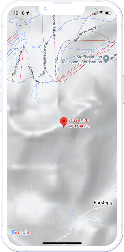
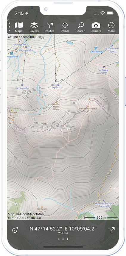
Which map would you prefer to explore the outdoors?

Compare yourself

Google maps

Appset image

OpenStreetMap

Appset image

Topographic map

Appset image