Planning a route by entering the name of a location
To plan a route by entering the name of a location, first open the route planner. If a route is already planned, tap the cross button to reset the planner.
If you tap the search bar in the route planner overlay a screen will appear in which you can enter the starting point and the destination. An example is shown below:
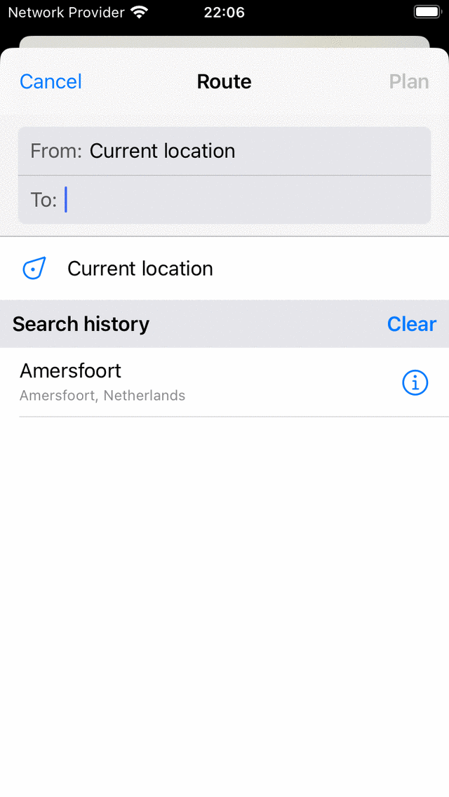
Screen in which you can enter a starting point and a destination.
Your current location is automatically filled in as the starting point, you only need to enter the destination. If you wish to use another starting point just enter the name of another location in the ‘From:’ field.
As an example we have enetered ‘Amersfoort’ in the ‘To’ field. If you now tap ‘Plan’ on the top right or tap the location in the list of search results, you will return to the plan screen and a route will be planned from your current location to ‘Amersfoort’ as you can see in the example below:
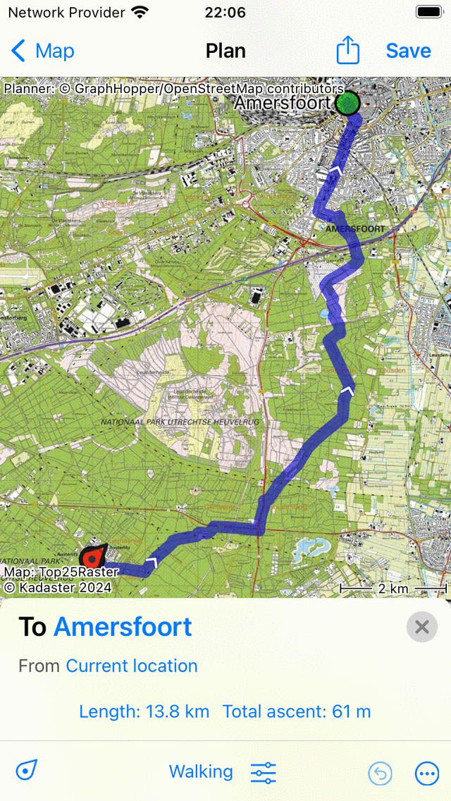
Planned a route from your current location to ‘Amersfoort’.
In the route planner overlay the destination and source of the planned route are shown as you can see in the figure above. If you tap them, they can be changed. Furthermore, the length of the route is shown. If you tap the length, the map will be zoomed to the planned route. Also the total ascent is displayed, if you tap it you can view a height profile of the planned route.
If you press ‘Save’ on the top right, you can save the planned route.
If you do not want to save the route, you can press ‘< Map’ on the top left to return to the main screen. The planned route will then also be visible on the main map.
If you tap the route line of a planned route in the main screen, you will return to the route planner.