
Topographic map of Switzerland on your iPhone, Android phone and Apple Watch


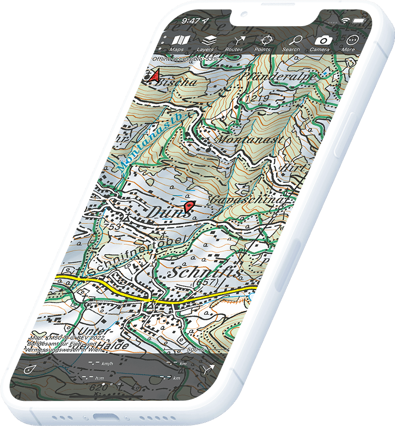
Topographic map of Switzerland
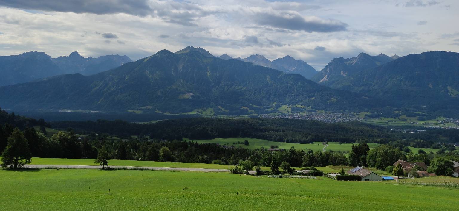
Topo GPS has topographic maps of Switzerland from swisstopo. Switzerland offers world-class Alpine hiking with the finest official cartography in the world.
Download once, use anywhere — no signal needed.
See your exact position on the map as you move.
Record hikes, export GPX and share your tracks.
Swiss topo 1:25,000
Official Swiss topographic map at 1:25,000 scale from swisstopo — the world’s most detailed mountain cartography.
Pricing
One-time purchase€3.99 one-time purchase, free lifetime updates included
€3.99

Swiss topo 1:50,000
Swiss topographic map at 1:50,000 scale from swisstopo.
Pricing
One-time purchase€2.99 one-time purchase, free lifetime updates included
€2.99
Swiss topo 1:100,000
Swiss topographic map at 1:100,000 scale from swisstopo.
Pricing
One-time purchase€1.99 one-time purchase, free lifetime updates included
€1.99

Swiss aerial
High-resolution aerial imagery of Switzerland from swisstopo.
Pricing
One-time purchase€3.99 one-time purchase, free lifetime updates included
€3.99
Where to hike in Switzerland
Switzerland offers the Via Alpina, Tour de Monte Rosa, Haute Route, Bernese Oberland traverses and hut-to-hut routes on the Jungfrau.
The most iconic Alpine peak at 4,478 m — the Hörnli Ridge and the Zmuttgletscher circuit.
Eiger, Mönch and Jungfrau (4,158 m) — the classic Jungfrau Region hut trails.
The 160 km circumnavigation of Monte Rosa (4,634 m) across nine Alpine passes.
Deep green river valley with Roman bridge — the Locarno to Sonogno trail.
Car-free Alpine village — the Five Lakes Walk and panorama trails above 2,500 m.
The 390 km Swiss route of the Via Alpina from Vaduz to Montreux.
Mount Titlis (3,238 m) trails and the Surenen Pass crossing.
Switzerland’s largest canton — the Silvretta traverse and National Park trails.