
Topographic map of Poland on your iPhone, Android phone and Apple Watch


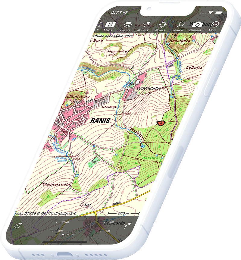
Topographic map of Poland
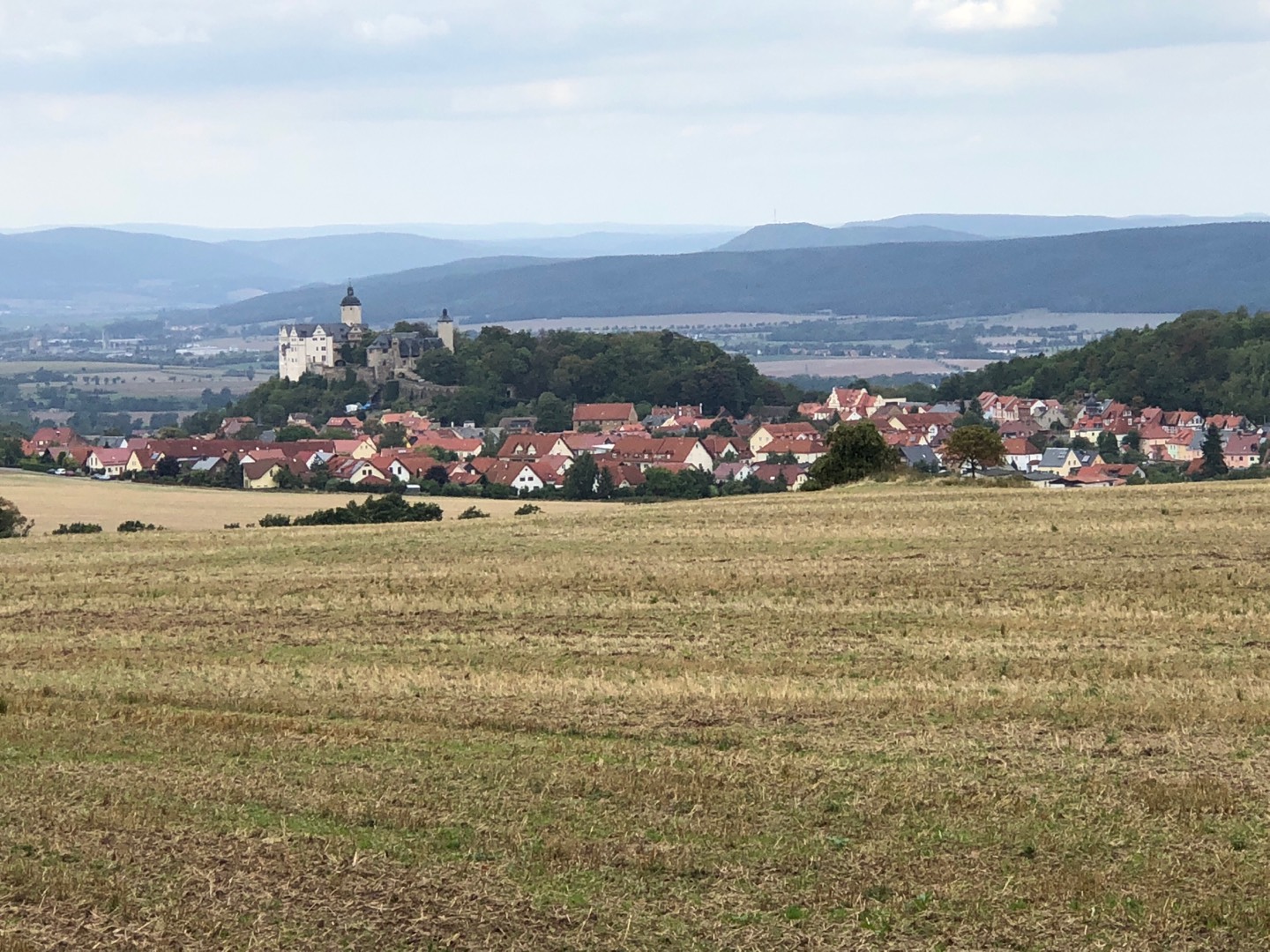
Topo GPS has topographic maps of Poland from GUGiK. Poland offers the High Tatras, Bieszczady wilderness, Sudeten mountains, Baltic coastal walking and the ancient Białowieża forest.
Download once, use anywhere — no signal needed.
See your exact position on the map as you move.
Record hikes, export GPX and share your tracks.
Poland topo
Official topographic map of Poland from GUGiK.
Pricing
One-time purchase€3.99 one-time purchase, free lifetime updates included
€3.99
Poland aerial
High-resolution aerial imagery of Poland from GUGiK.
Pricing
One-time purchase€3.99 one-time purchase, free lifetime updates included
€3.99
Where to hike in Poland
Poland offers the Tatras ridge, Bieszczady ridge, Karkonosze, the Baltic Amber Coast trail and the Białowieża primeval forest.
Poland’s only alpine national park — Rysy (2,499 m) and the Orla Perć eagle trail.
Wild southeast Carpathians — the open bieszczad ridge trails and bison reserve.
Sudeten ridge national park — Śnieżka (1,603 m) and the Giant Mountains ridge trail.
Europe’s last lowland primeval forest — UNESCO World Heritage and European bison.
Limestone gorges on the Dunajec river — the traditional raft trip and cliff path.
Rolling highland on the Ukrainian border — ancient forest and the Tanew river gorge.
The Słowiński dune national park and the Hel Peninsula coastal path.
Poland’s smallest national park — limestone valleys, caves and medieval castle ruins.