Coordinate grids
Coordinate grids are a collection of curves at regular intervals that show a coordinate system.
To add a coordinate grid to the map, go to Menu > Layers > Coordinate grids. The following screen will appear:
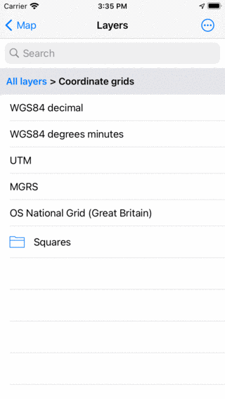
Coordinate grids in the layers screen.
If you tap a coordinate grid it will be loaded map and you will return to the main screen. If you return to the coordinate grids screen, the loaded grid will have a grey background. If you tap it, it will be removed from the map.
Sliding the dashboard to the coordinates panel is useful for read off the coordinates from the map.
In the figures below several examples of coordinates grids are displayed.
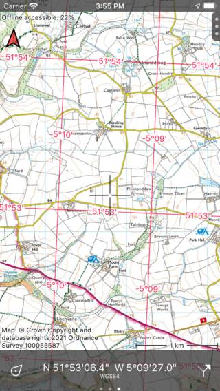
WGS84 degree minutes coordinates grid.
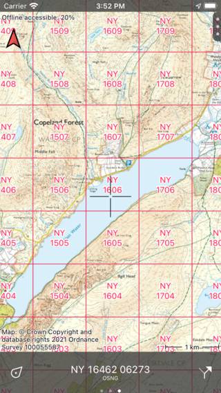
Ordnance Survey National Grid coordinates grid.
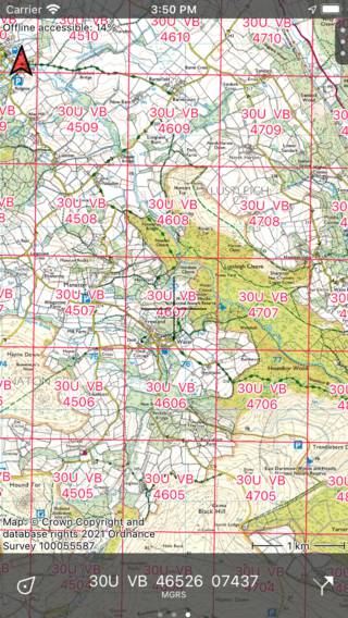
MGRS coordinates grid.
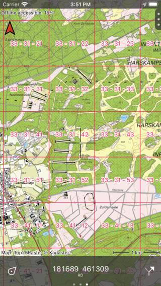
RD atlasblokken coordinates grid.