Waldbrandbekämpfung
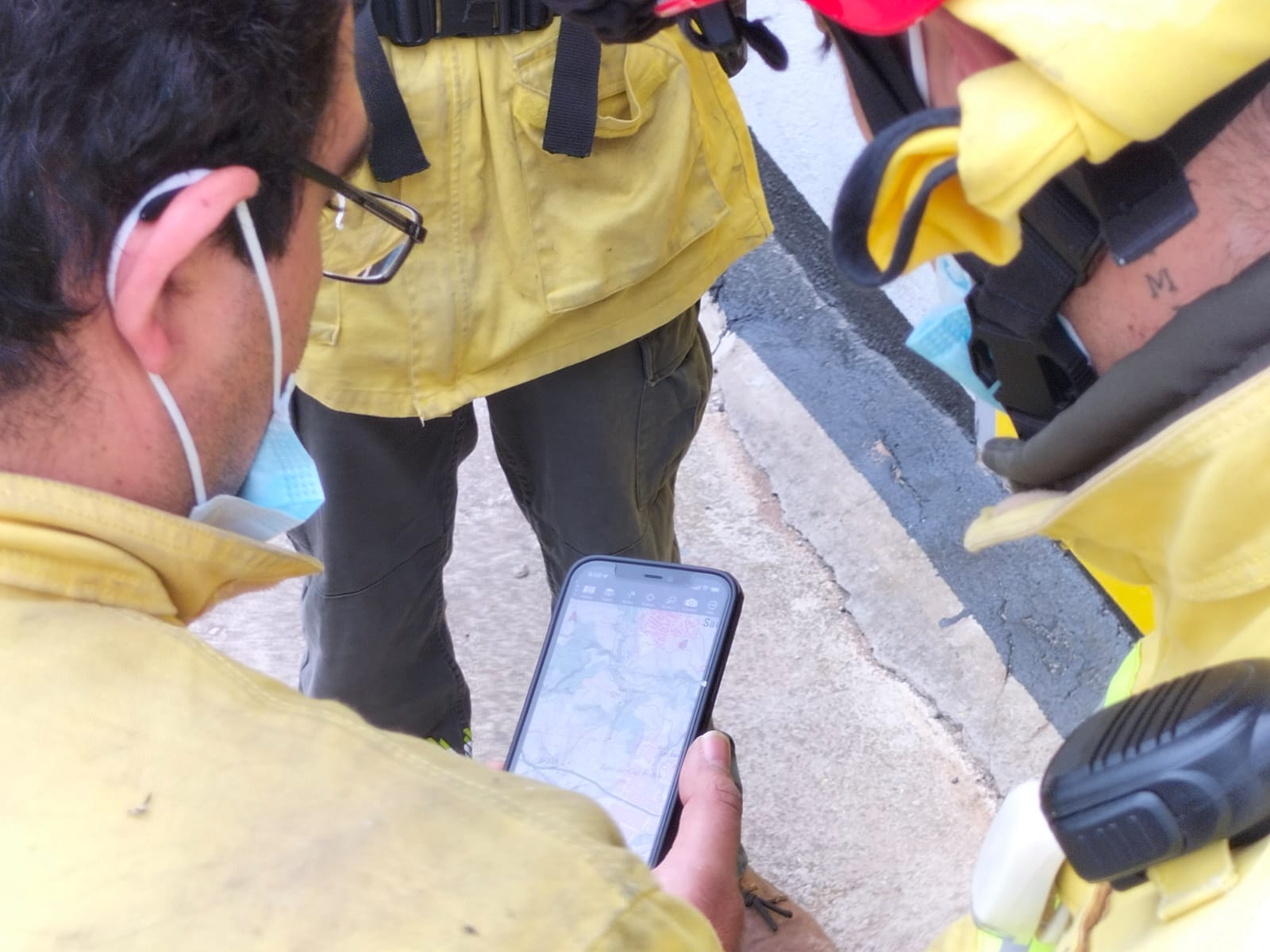
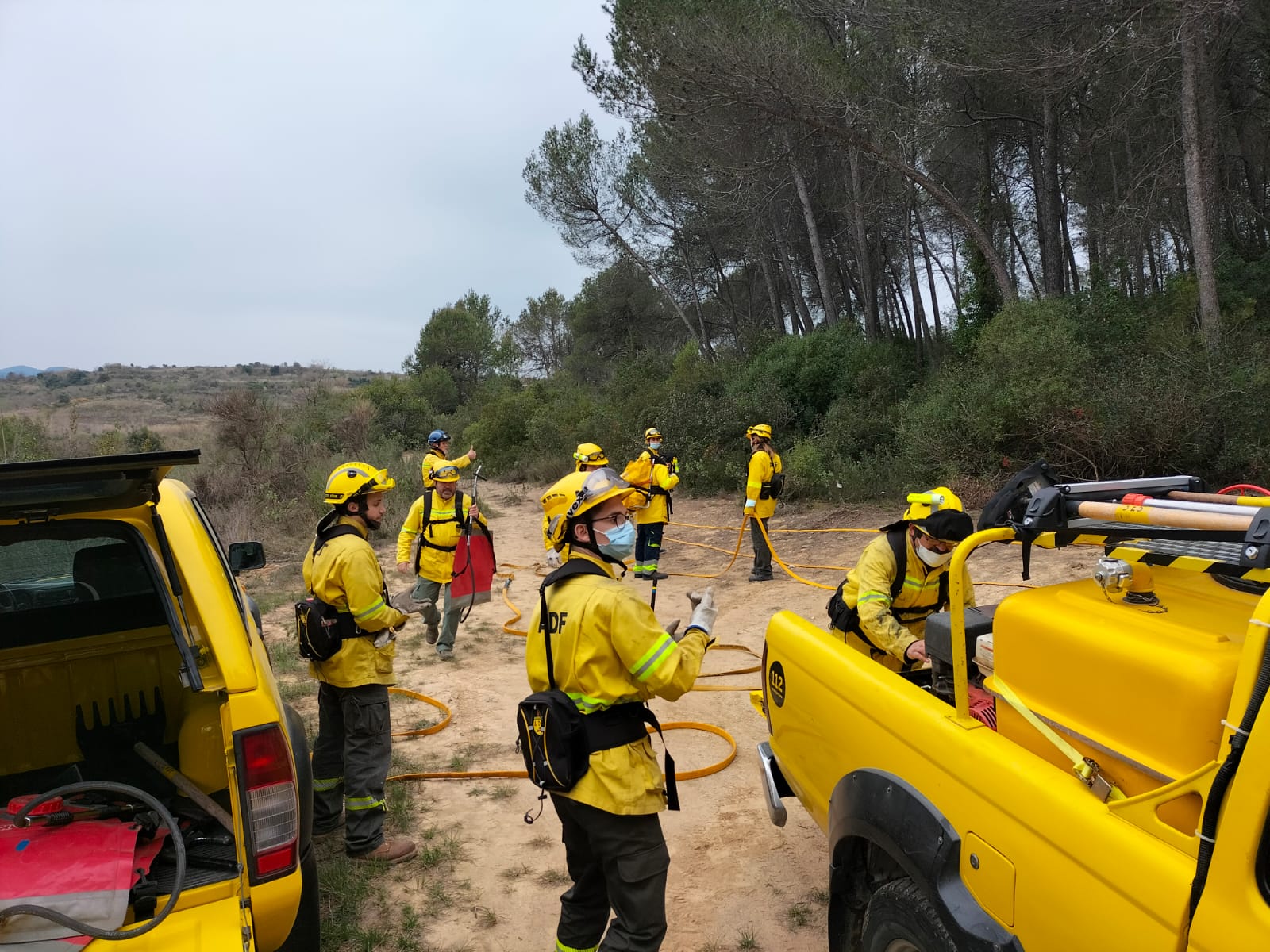
Mehrere Waldbrandbekämpfungsteams verwenden Topo GPS während ihrer Einsätze.
Lesen Sie unten ihre Geschichten.
Forstschutzgruppe Katalonien
Die Topografie in den Bereichen, die dem Schutz der natürlichen Umwelt gewidmet sind, ist sehr wichtig. Wir brauchen klare und zuverlässige Tools, um geografische Punkte zu lokalisieren und diese Koordinaten an den Rest des Teams zu übermitteln. In unserem Fall als Mitglieder einer ADF (Waldbrandschutzgruppe Kataloniens) hilft uns die App Topo GPS dabei, das Gelände zu identifizieren und die Koordinaten für Einsätze bei Waldbränden zu lokalisieren.
Juan Carlos Alfonso – ADF Katalonien