
Topographic and street maps for the whole world in Topo GPS


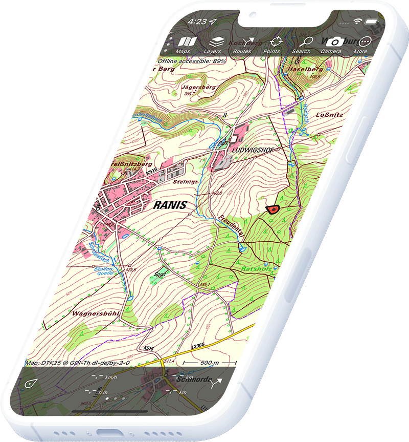
Topographic map of World
Topo GPS includes a free worldwide OpenStreetMap layer for navigation anywhere on the globe. For countries without a dedicated topographic map, OSM provides detailed street and trail mapping.
Download once, use anywhere — no signal needed.
See your exact position on the map as you move.
Record hikes, export GPX and share your tracks.
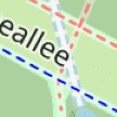
OpenStreetMap
Free worldwide base map from OpenStreetMap — included with Topo GPS at no extra cost.
Pricing
FreeIncluded free with every Topo GPS installation
Free
Where to hike in World
Topo GPS works everywhere with OpenStreetMap — plan routes, record tracks and navigate across any country in the world.
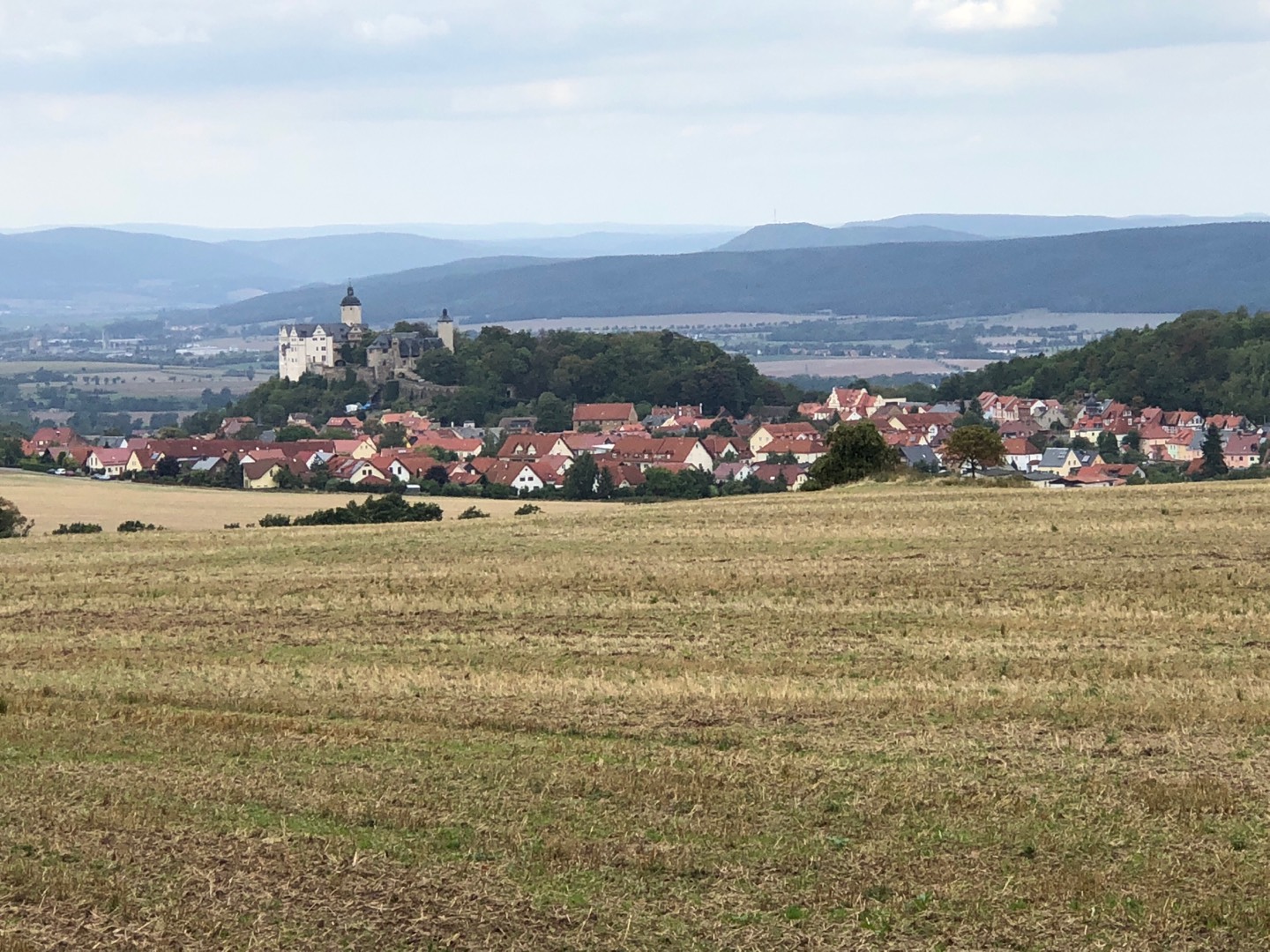
Torres del Paine and the Fitz Roy Circuit in southern Argentina and Chile.
Africa’s highest peak at 5,895 m — Lemosho and Machame routes through six climate zones.
The Annapurna Circuit and Everest Base Camp trek through the Himalayan foothills.
The Laugavegur trail — 55 km through geothermal highlands, glaciers and obsidian deserts.
The Atlas Mountains — Toubkal (4,167 m) and the Berber village traverse routes.
The Inca Trail to Machu Picchu and the Ausangate Circuit in the Peruvian Andes.
Kilimanjaro National Park approach trails and the Ngorongoro Crater rim walk.
For countries not yet covered by a national topo map, OpenStreetMap shows the complete network of Camino routes, long-distance trails and local footpaths.