
Topographic map of Spain on your iPhone, Android phone and Apple Watch


Topographic map of Spain
Topo GPS has topographic maps of Spain from IGN Spain. From the Pyrenees and Sierra Nevada to the Camino de Santiago and the Canary Islands, Spain offers outstanding hiking.
Download once, use anywhere — no signal needed.
See your exact position on the map as you move.
Record hikes, export GPX and share your tracks.
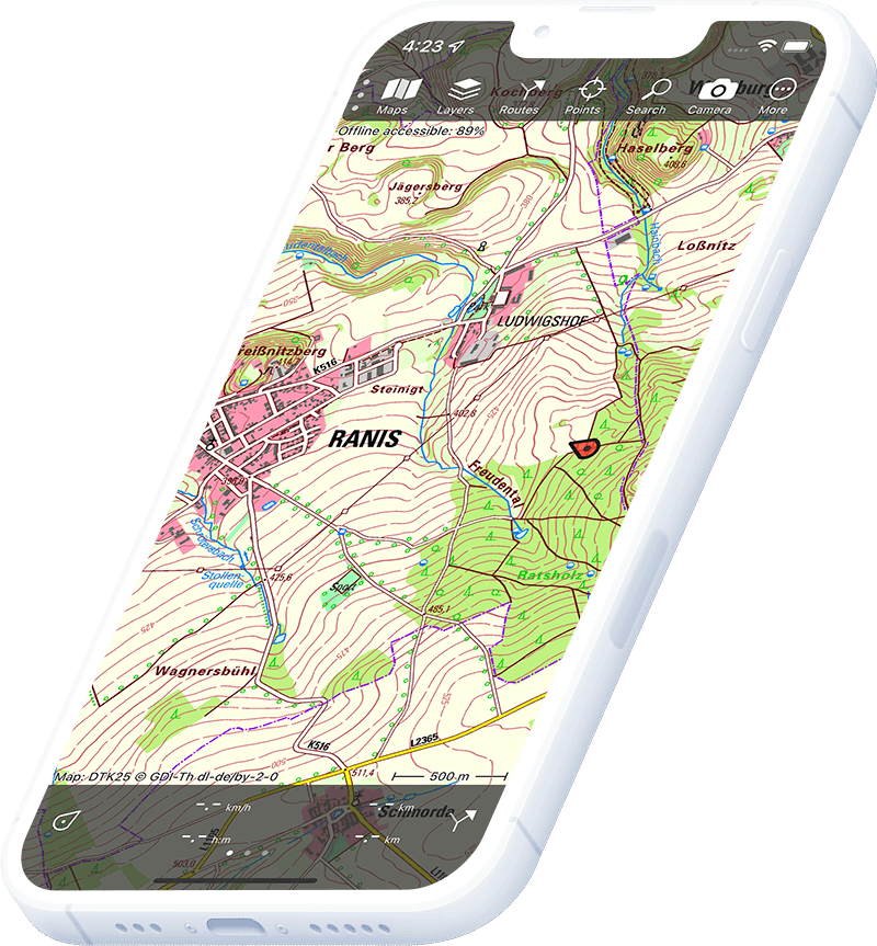
Spain topo 1:25,000
Official Spanish topographic map at 1:25,000 scale from IGN Spain.
Pricing
One-time purchase€3.99 one-time purchase, free lifetime updates included
€3.99
Spain aerial
High-resolution aerial imagery of Spain from IGN Spain.
Pricing
One-time purchase€3.99 one-time purchase, free lifetime updates included
€3.99
Where to hike in Spain
Spain offers the Camino de Santiago, Picos de Europa, Sierra Nevada, Pyrenean traverses and the volcanic landscapes of the Canary Islands.
Dramatic limestone massif in the Cantabrian mountains — the Cares Gorge trail.
Spain’s highest peak Mulhacén (3,479 m) and the high-level GR7 traverse.
The 800 km Camino Francés pilgrim trail across northern Spain to Santiago de Compostela.
The GR11 high route across the entire Spanish side of the Pyrenees.
Teide (3,715 m) on Tenerife — Spain’s highest point and spectacular volcanic landscape.
Ordesa y Monte Perdido national park — the Faja de Palay ledge trail and Monte Perdido (3,355 m).
UNESCO mountain range in Mallorca — the Dry Stone Route (GR221).
Volcanic crater rim trail around the Caldera de Taburiente on the green Canary Island.