Layers
A layer is a collection of geographical information that can be added to the map. Layers can be added to the map via the layers screen (Menu > Layers).
The layers screen shows a list of available layers, an example is shown below:
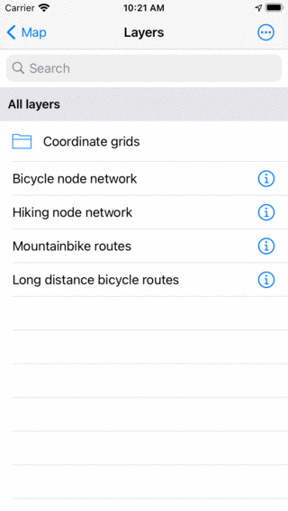
The layers screen (Menu > Layers).
Layers that have grey background are currently loaded on the map. If you tap an item without a grey background it will be loaded on the map and you will return to the main screen. If you tap a layer with a grey background it will be removed from the map. To remove all layers, tap ‘More > Remove all from map’ in the layers screen.
In the layers screen you can always access the coordinate grid layers. Optionally you can purchase a special layer, like the bicycle node network or the mountainbike routes layer.