
Topographic map of Slovenia on your iPhone, Android phone and Apple Watch


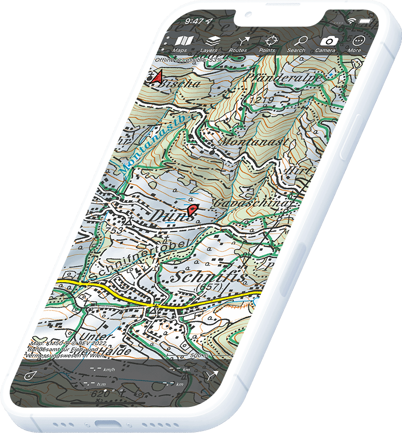
Topographic map of Slovenia
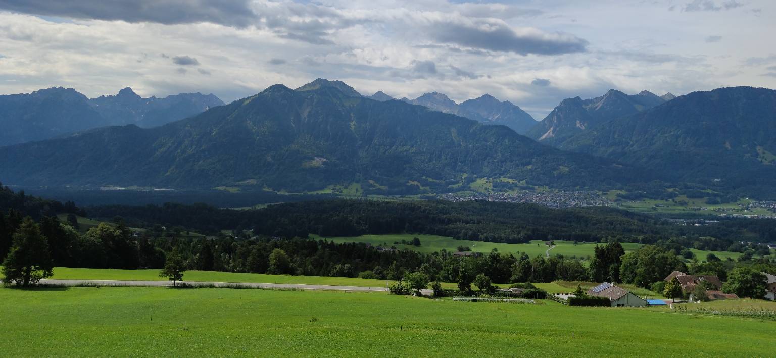
Topo GPS has topographic maps of Slovenia from GURS. Slovenia offers compact Alpine and karst hiking — from the Julian Alps and Triglav to the Karst plateau and the Soča river valley.
Download once, use anywhere — no signal needed.
See your exact position on the map as you move.
Record hikes, export GPX and share your tracks.
Slovenia topo
Official topographic map of Slovenia from GURS.
Pricing
One-time purchase€3.99 one-time purchase, free lifetime updates included
€3.99
Where to hike in Slovenia
Slovenia offers Triglav summit trails, the Soča Valley, Lake Bled circuit, Karst plateau hiking and the Kamnik-Savinja Alps.
Slovenia’s only national park and highest peak at 2,864 m — the iconic Slovenian Alpine challenge.
The emerald glacial lake with island church and clifftop Bled Castle.
Emerald river valley — the Soča Trail and World War I Isonzo Front trail network.
Slovenia’s limestone plateau — the Postojna Cave trail and Lipica stud farm walks.
Steep limestone peaks — the Kamniška Bistrica gorge and Velika planina alpine pasture.
One of the most beautiful glacial valleys in the Alps — the Rinka waterfall trail.
UNESCO World Heritage underground canyon — surface trail through the karst above.
4 km wooden walkway along the roaring Radovna river gorge near Bled.