
Topographic map of Great Britain on your iPhone, Android phone and Apple Watch


Topographic map of Great Britain
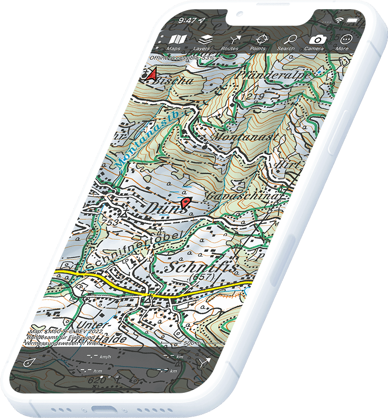
Topo GPS has topographic maps of Great Britain from Ordnance Survey. The OS Explorer 1:25,000 map is the gold standard for walking, climbing and outdoor navigation across England, Scotland and Wales.
Download once, use anywhere — no signal needed.
See your exact position on the map as you move.
Record hikes, export GPX and share your tracks.
OS Explorer 1:25,000
Official Ordnance Survey map at 1:25,000 scale — the most detailed topographic map of Great Britain.
Pricing
Annual subscription£19.99/year, includes free updates
£19.99/yr
OS Landranger 1:50,000
Ordnance Survey Landranger map at 1:50,000 scale — ideal for route planning and cycling.
Pricing
Annual subscriptionIncluded with OS Explorer subscription
Included
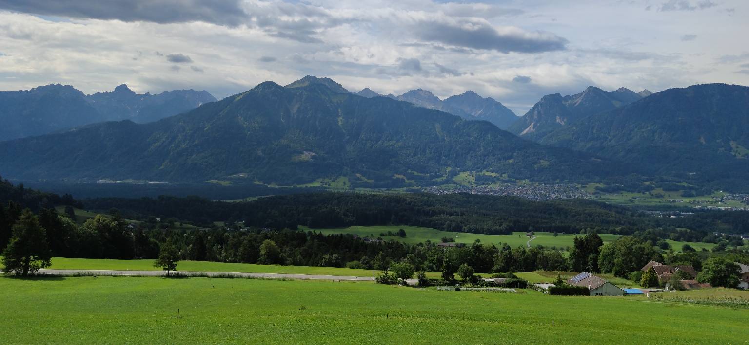
Where to hike in Great Britain
Great Britain offers the Three Peaks, Coast to Coast, West Highland Way, Pembrokeshire Coast Path and the entire National Trails network.
Britain’s highest mountain at 1,345 m — the Pony Track and CMD Arête routes.
England’s largest national park — Scafell Pike (978 m), Helvellyn and Wainwright fells.
Wales’sMountains of Snowdon (1,085 m) and the Snowdon Horseshoe ridge.
Britain’s largest national park — Loch Avon, the Lairig Ghru and four of the UK’s five highest peaks.
186 km coastal path around the only coastal national park in Wales.
Rolling chalk downland from Winchester to Eastbourne — the South Downs Way.
Limestone pavements, waterfalls and moors — the Pennine Way.
The West Highland Way from Glasgow to Fort William through Glencoe.