
Topographic map of Slovakia on your iPhone, Android phone and Apple Watch


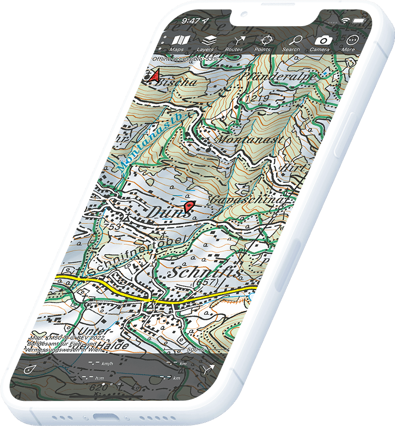
Topographic map of Slovakia
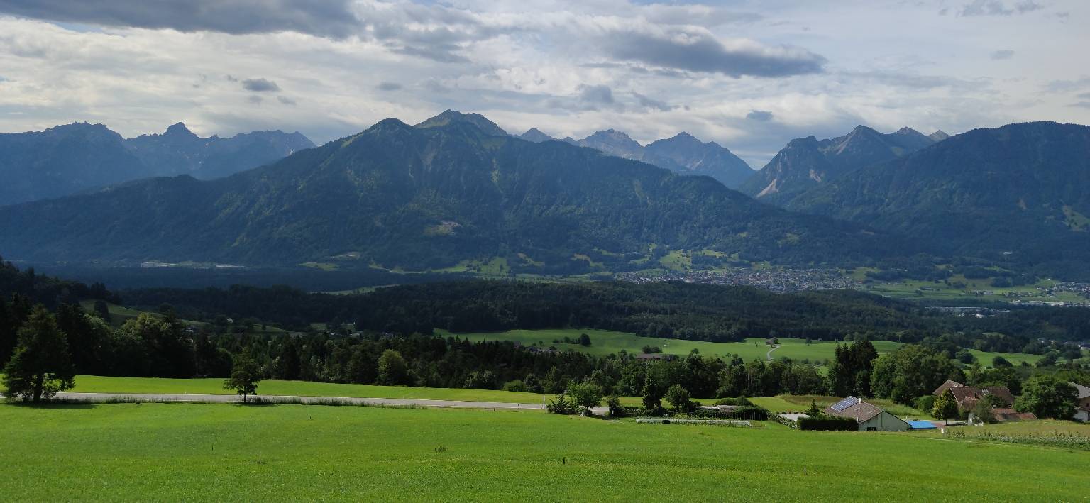
Topo GPS has topographic maps of Slovakia from ÚGKK. Slovakia offers the High Tatras, the Slovak Paradise, Malá Fatra and the karst caves of the Slovak Karst UNESCO World Heritage Site.
Download once, use anywhere — no signal needed.
See your exact position on the map as you move.
Record hikes, export GPX and share your tracks.
Slovakia topo
Official topographic map of Slovakia from ÚGKK.
Pricing
One-time purchase€3.99 one-time purchase, free lifetime updates included
€3.99
Slovakia aerial
High-resolution aerial imagery of Slovakia from ÚGKK.
Pricing
One-time purchase€3.99 one-time purchase, free lifetime updates included
€3.99
Where to hike in Slovakia
Slovakia offers the High Tatras Magistrála trail, Slovak Paradise gorges, Malá Fatra ridge and the Slovenský ráj ladders and chains.
Slovakia’s highest peaks — Gerlachovský štít (2,655 m) and the Magistrála ridgeline trail.
Dramatic limestone gorges with iron ladders and chains — the Suchá Belá gorge.
Rocky limestone range — Veľký Kriváň (1,709 m) and the Vrátna valley trails.
Limestone gorges on the Dunajec river — the traditional raft trip along the Polish-Slovak border.
UNESCO World Heritage karst plateau — the Domica cave and plateau trail network.
The longest Slovak ridge — Ďumbier (2,046 m) and the Štefánik Trail.
Quieter limestone Tatras north of Ždiar — the Monkova Valley and Hlúpy pass.
Slovakia’s remotest national park — old-growth beech forest on the Ukrainian border.