
Topographic map of Australia on your iPhone, Android phone and Apple Watch


Topographic map of Australia
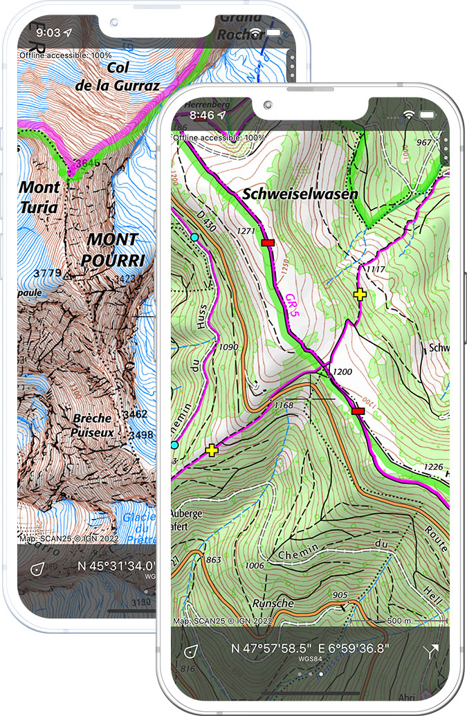
Topo GPS has topographic maps of Australia from Geoscience Australia and state surveying agencies. From the Queensland Coast to New South Wales and South Australia, Topo GPS covers the main hiking regions.
Download once, use anywhere — no signal needed.
See your exact position on the map as you move.
Record hikes, export GPX and share your tracks.
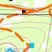
Queensland topo
Official topographic map of Queensland from QLD Department.
Pricing
One-time purchaseAUD 7.99 one-time purchase, free lifetime updates included
AUD 7.99
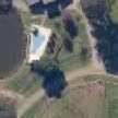
Queensland aerial
High-resolution aerial imagery of Queensland.
Pricing
One-time purchaseAUD 7.99 one-time purchase, free lifetime updates included
AUD 7.99
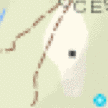
New South Wales topo
Official topographic map of New South Wales.
Pricing
One-time purchaseAUD 7.99 one-time purchase, free lifetime updates included
AUD 7.99
New South Wales aerial
High-resolution aerial imagery of New South Wales.
Pricing
One-time purchaseAUD 7.99 one-time purchase, free lifetime updates included
AUD 7.99
South Australia topo
Official topographic map of South Australia.
Pricing
One-time purchaseAUD 7.99 one-time purchase, free lifetime updates included
AUD 7.99
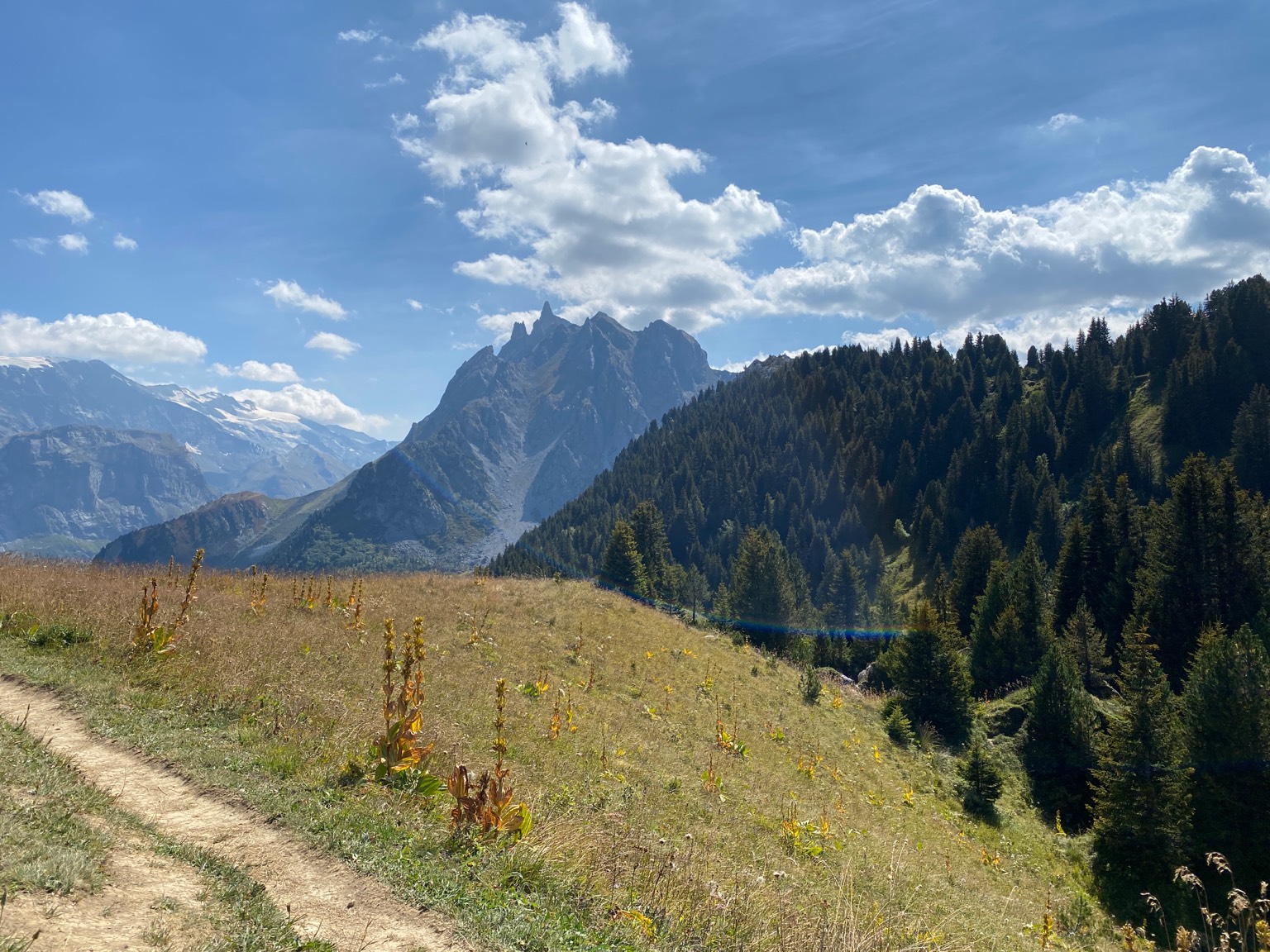
Where to hike in Australia
Australia offers the Overland Track, Blue Mountains, Grampians, Larapinta Trail, Cape to Cape Track and the Bibbulmun Track.
Tasmania’s iconic 65 km wilderness trek from Cradle Mountain to Lake St Clair.
Sandstone canyons and eucalyptus forest west of Sydney — the Six Foot Track and Grand Canyon loop.
Striking sandstone ranges in Victoria — the Grampians Peak Trail and Pinnacle Lookout.
223 km desert trail along the West MacDonnell Ranges in the Red Centre.
Ancient Gondwana rainforest — Cape Tribulation mangrove coast walks in Queensland.
Australia’s highest peak at 2,228 m in the Snowy Mountains — the Main Range walk.
Victoria’s most southerly point — remote beaches and the Southern Circuit.
123 km coastal walk between Cape Naturaliste and Cape Leeuwin in Western Australia.