
Topographic map of Austria on your iPhone, Android phone and Apple Watch


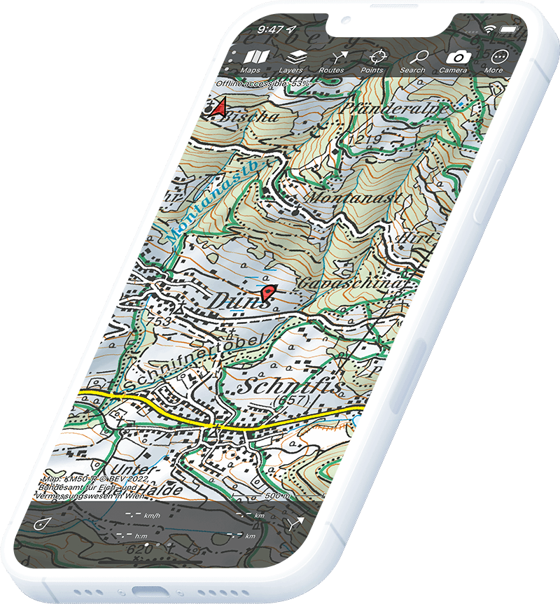
Topographic map of Austria
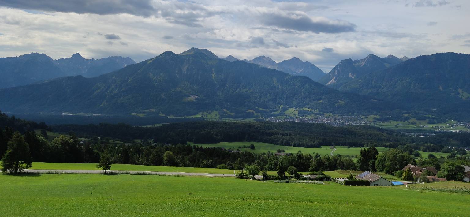
Topo GPS has topographic maps of Austria from BEV — the Federal Office of Metrology and Surveying. The Austrian Alps offer some of Europe’s finest mountain hiking, from the Hohe Tauern to the Dachstein and the Karwendel.
Download once, use anywhere — no signal needed.
See your exact position on the map as you move.
Record hikes, export GPX and share your tracks.
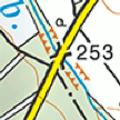
KM50-R 1:50,000
Official Austrian topographic map at 1:50,000 scale from BEV.
Pricing
One-time purchase€4.99 one-time purchase, free lifetime updates included
€4.99
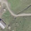
Aerial imagery
High-resolution aerial imagery of Austria.
Pricing
One-time purchase€3.99 one-time purchase, free lifetime updates included
€3.99
Where to hike in Austria
Austria offers spectacular Alpine hiking from the Hohe Tauern glacier peaks to the limestone Dachstein, Karwendel and the Salzkammergut lake district.
Austria’s highest peak at 3,798 m — the iconic summit above the Hohe Tauern glacier world.
Limestone massif above the Salzkammergut — glaciers, via ferratas and the famous Hallstatt lake.
Wild limestone range north of Innsbruck — the largest nature reserve in Austria.
High Alpine glaciers and remote valleys on the Italian border.
Scenic lake district of central Austria — the Dachstein, Wolfgangsee and Hallstättersee.
Dramatic gorge national park on the Enns river.
Remote western Alps above Arlberg — classic multi-day traverse hut to hut.
Ötzi country — the high glaciated border range with Wildspitze (3,768 m).