
Topographic map of Sweden on your iPhone, Android phone and Apple Watch


Topographic map of Sweden
Topo GPS has topographic maps of Sweden from Lantmäteriet. Sweden offers epic wilderness hiking in Lapland, the Kungsleden King’s Trail, coastal archipelago walks and the High Coast World Heritage Site.
Download once, use anywhere — no signal needed.
See your exact position on the map as you move.
Record hikes, export GPX and share your tracks.
Sweden topo
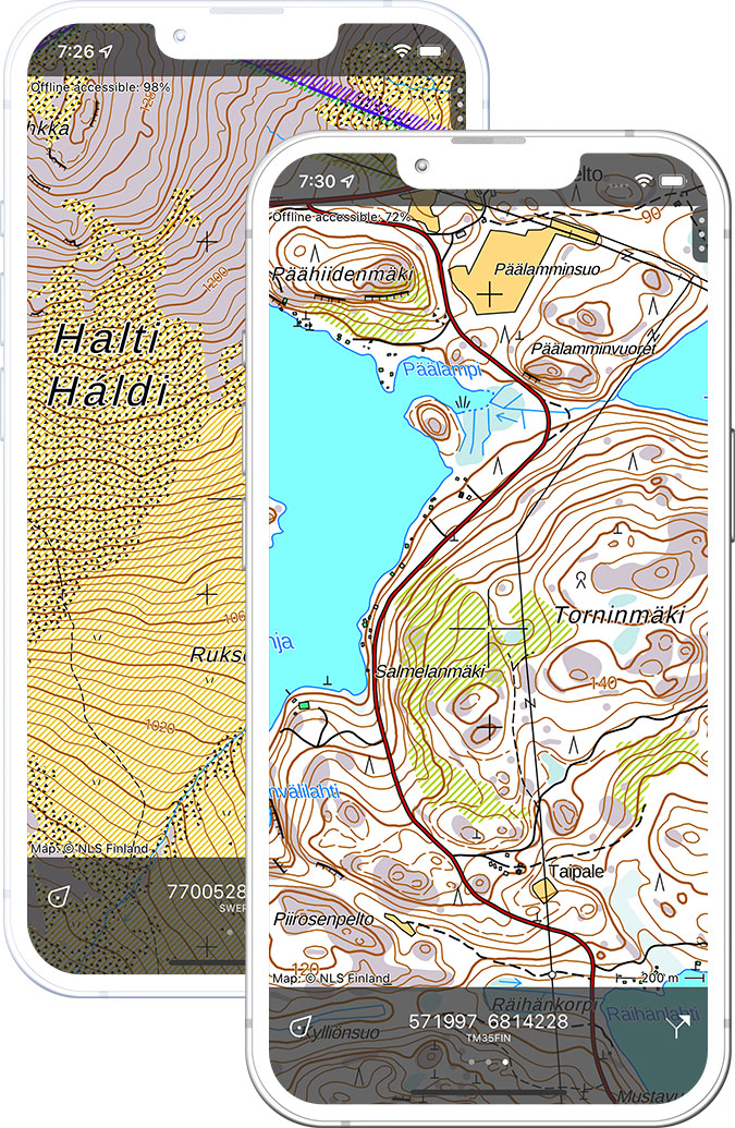
Official topographic map of Sweden from Lantmäteriet.
Pricing
One-time purchase€3.99 one-time purchase, free lifetime updates included
€3.99
Where to hike in Sweden
Sweden offers the Kungsleden trail, Sarek wilderness, High Coast Trail, Sörmlandsleden and the vast boreal forest of Swedish Lapland.
Sweden’s highest peak at 2,096 m — the start of the Kungsleden trail.
The 440 km King’s Trail from Abisko to Hemavan through Arctic mountain landscapes.
Europe’s wildest national park — no marked trails, 200 glaciers and delta rivers.
UNESCO World Heritage coastline — the Höga Kusten trail with dramatic clifftop views.
Midnight sun hiking and the famous view of Lake Torneträsk from Njulla.
Sweden’s second most remote national park — the 93 m Njupeskär waterfall.
30,000 islands — trail walking on Utö, Sandön and the outer archipelago.
1,000 km trail network through forest, lakes and castles south of Stockholm.