
Topographic map of Denmark on your iPhone, Android phone and Apple Watch


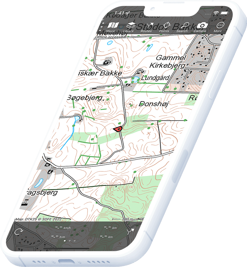
Topographic map of Denmark
Topo GPS has topographic maps of Denmark from GST. Denmark offers beautiful coastal hiking, forest trails and island exploration.
Download once, use anywhere — no signal needed.
See your exact position on the map as you move.
Record hikes, export GPX and share your tracks.
Danish topo 1:25,000
Official Danish topographic map at 1:25,000 scale from GST.
Pricing
One-time purchase€3.99 one-time purchase, free lifetime updates included
€3.99
Aerial imagery
High-resolution aerial imagery of Denmark from GST.
Pricing
One-time purchase€3.99 one-time purchase, free lifetime updates included
€3.99
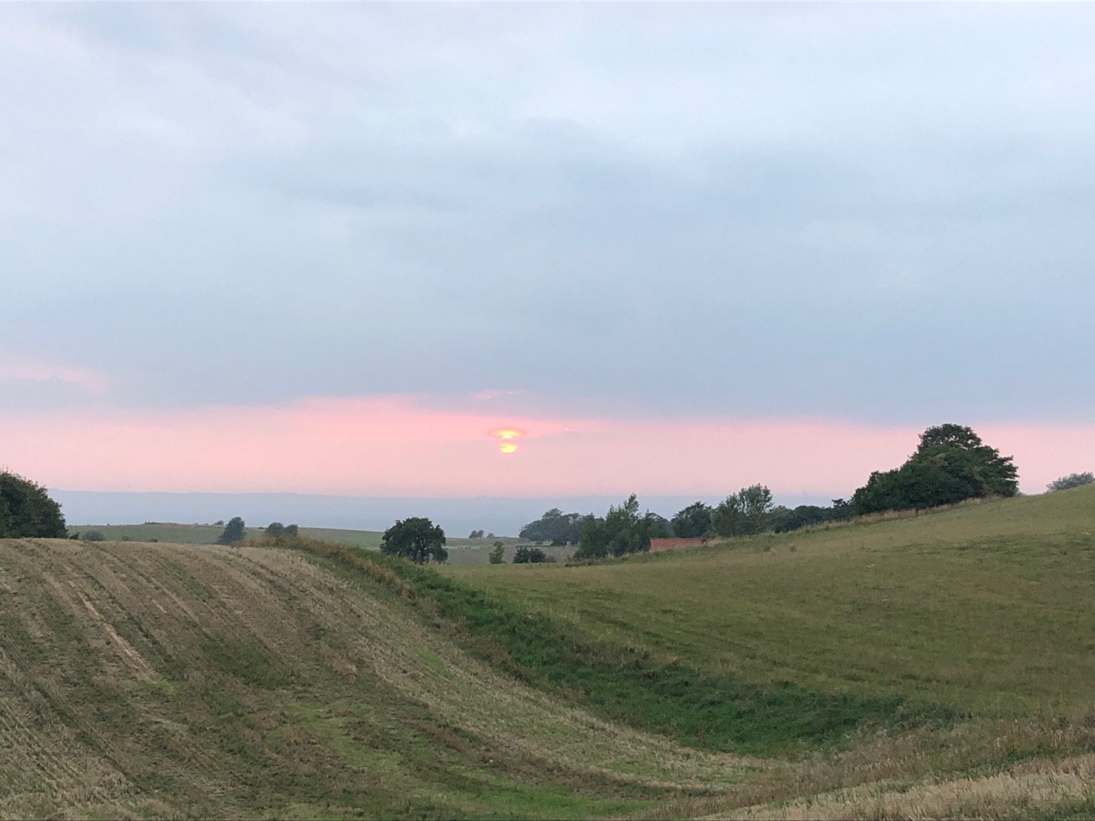
Where to hike in Denmark
Denmark offers North Sea coastal paths, the Hærvejen ancient road, scenic fjord hiking and island trails.
The wild North Sea coast of northwest Jutland — shifting dunes and migrating birdlife.
The 500 km ancient road from Padborg to Viborg.
UNESCO tidal national park along the southwest Jutland coast.
Granite island in the Baltic — round churches and 200 km of marked trails.
Green island in the Little Belt — coastal paths and oak forests.
Denmark’s newest national park — rolling moraine hills and beaches.
Denmark’s finest chalk cliffs — 128 m white sea cliffs with fossils.
Denmark’s oldest national park — sand dunes and the Cold Hawaii surf coast.