
Topographic map of New Zealand on your iPhone, Android phone and Apple Watch


Topographic map of New Zealand
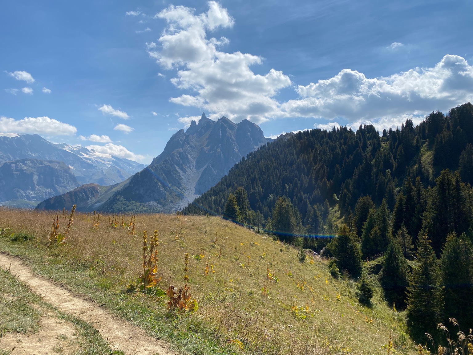
Topo GPS has topographic maps of New Zealand from Land Information New Zealand (LINZ). From the fiords of the South Island to the volcanic plateau of the North Island, New Zealand offers stunning hiking.
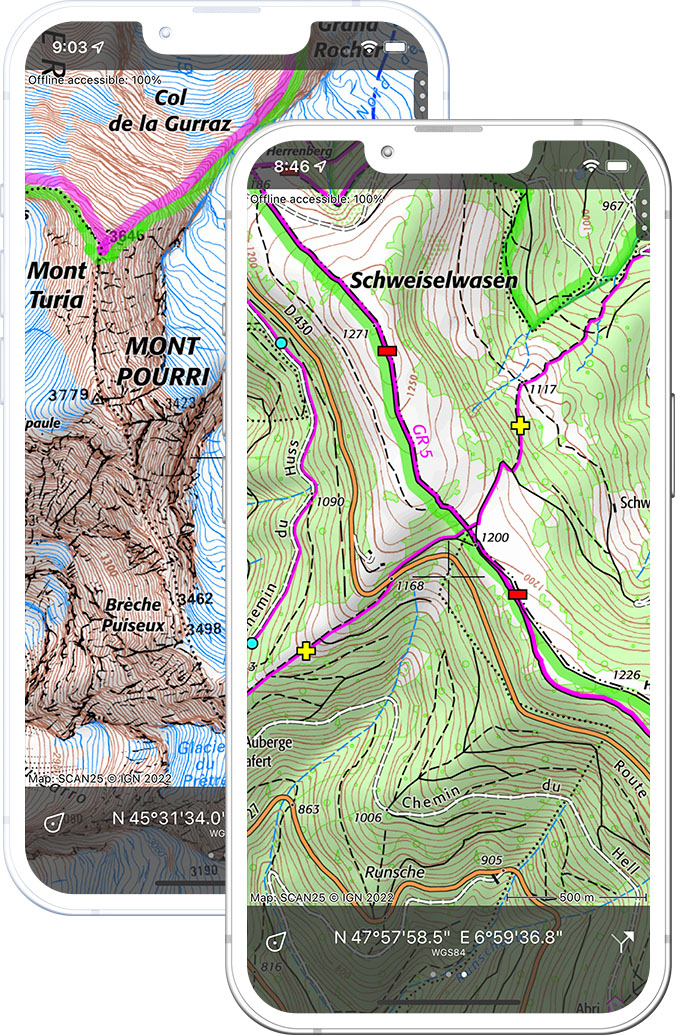
Download once, use anywhere — no signal needed.
See your exact position on the map as you move.
Record hikes, export GPX and share your tracks.
NZ Topo50
Official New Zealand topographic map at 1:50,000 scale from LINZ.
Pricing
One-time purchaseNZD 5.99 one-time purchase, free lifetime updates included
NZD 5.99
Aerial imagery
High-resolution aerial imagery of New Zealand from LINZ.
Pricing
One-time purchaseNZD 5.99 one-time purchase, free lifetime updates included
NZD 5.99
Where to hike in New Zealand
New Zealand offers the Great Walks including the Milford Track, Routeburn, Tongariro Alpine Crossing and the Abel Tasman Coast Track.
New Zealand’s most famous Great Walk — 53.5 km through Fiordland glacial valleys.
The world’s best one-day walk across active volcanic terrain and emerald crater lakes.
A Great Walk connecting Fiordland and Mount Aspiring national parks.
New Zealand’s sunniest national park — golden beaches and forest coast track.
New Zealand’s highest peak at 3,724 m — the Hooker Valley Track and Ball Hut Route.
Remote southern island — the 125 km Rakiura Track and kiwi spotting.
New Zealand’s second largest national park — the 82 km Heaphy Track.
One of the Great Walks — a canoe journey down the Whanganui River through jungle gorges.