
Topographic map of the Netherlands on your iPhone, Android phone and Apple Watch


Topographic map of Netherlands
Topo GPS has topographic maps of the Netherlands from the Kadaster. From the dune coast and polders to the Veluwe forests and the hills of South Limburg, the Netherlands has excellent walking.
Download once, use anywhere — no signal needed.
See your exact position on the map as you move.
Record hikes, export GPX and share your tracks.
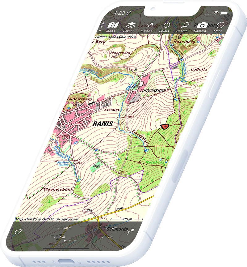
Dutch topo 1:25,000
Official topographic map of the Netherlands at 1:25,000 scale from Kadaster.
Pricing
One-time purchase€3.99 one-time purchase, free lifetime updates included
€3.99
Where to hike in Netherlands
The Netherlands offers the LAW long-distance walking routes, Veluwe forest trails, Texel island walks and the rolling hills of South Limburg.
The largest natural area in the Netherlands — heathland, sand drifts and ancient beech forest.
The hilliest region of the Netherlands — the Vaalserberg (322 m) and valley trail networks.
The largest Dutch Wadden island — dune walks, seal sandbanks and bird reserves.
National park with De Stijl architecture and Kröller-Müller sculpture forest.
Coastal dune national park just north of Haarlem — panoramic sea and polder views.
UNESCO World Heritage mudflats — the ancient art of wadlopen (mudflat walking) to outer islands.
Freshwater tidal delta wilderness — willow forest and waterway paddling routes.
Unspoiled heath and forest between Drenthe and Friesland — the largest area of nature in the north.