Topographic map of Romania on your iPhone, Android phone and Apple Watch


Topographic map of Romania
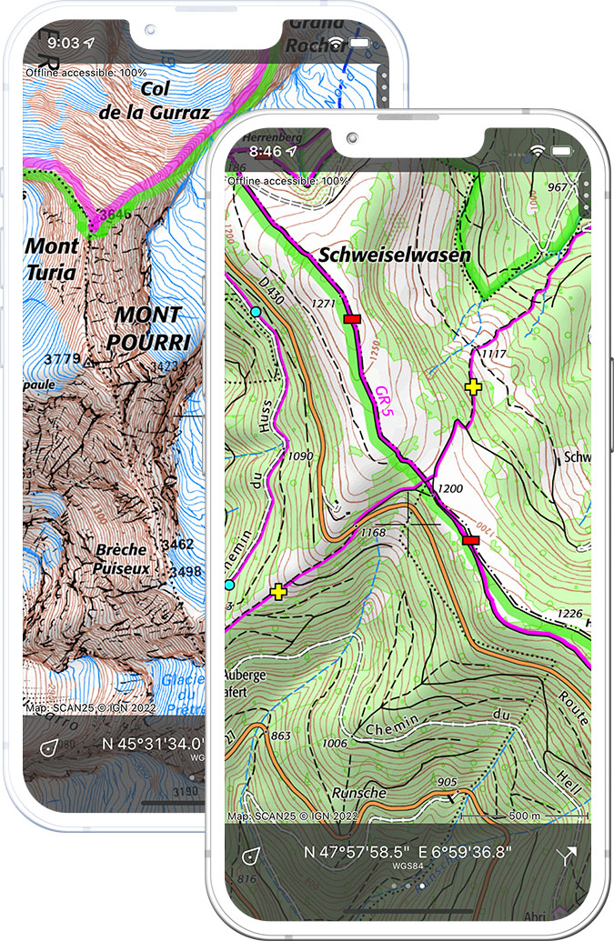
Topo GPS has topographic maps of Romania from ANCPI. Romania offers the Carpathian Mountains, Transylvanian plateau, Danube Delta wilderness and the painted monasteries of Bucovina.
Download once, use anywhere — no signal needed.
See your exact position on the map as you move.
Record hikes, export GPX and share your tracks.
Romania topo
Official topographic map of Romania from ANCPI.
Pricing
One-time purchase€3.99 one-time purchase, free lifetime updates included
€3.99
Where to hike in Romania
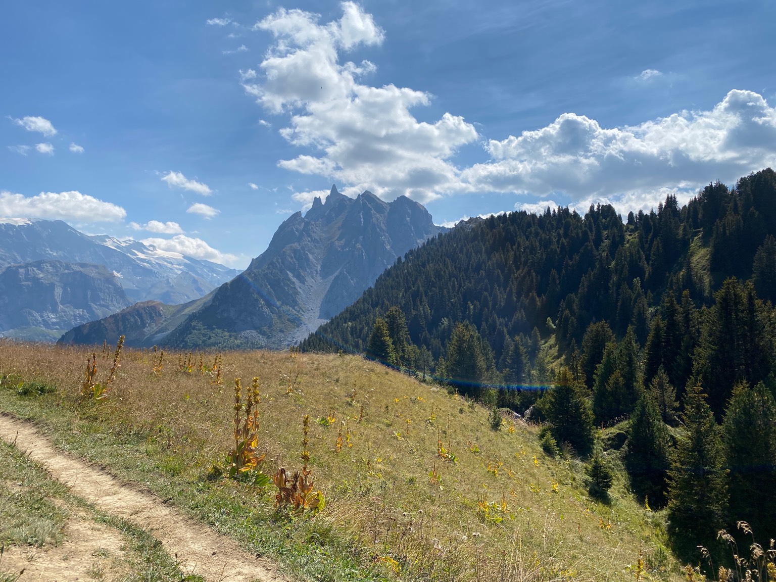
Romania offers the Bucegi Sphinx trail, Transylvania ridges, Retezat wilderness, Piatra Craiului ridge and the Danube Delta.
The Sphinx and Babele rock formations above Sinaia — plateau trail networks at 2,200 m.
The most spectacular limestone ridge in Romania — a long exposed 1:25,000 ridgeline traverse.
Romania’s oldest national park — glacial lakes, ibex and the highest peaks in the Southern Carpathians.
The highest mountain range in Romania — Moldoveanu (2,544 m) and the ridge traverse.
Limestone karst plateau in western Transylvania — ice cave, bears and the Padis trails.
UNESCO World Heritage delta — Europe’s largest wetland with pelicans and floating reed islands.
The sacred mountain of Moldova — a plateau of sandstone towers above the Bicaz reservoir.
Painted monastery trail through the painted medieval churches of northern Romania.


