

Topographic map of the USA on your iPhone, Android phone and Apple Watch


Topographic map of USA
Topo GPS has topographic maps of the United States from the USGS National Map. From the Rocky Mountains and Grand Canyon to Yosemite and the Appalachians, the USA offers world-class hiking.
Download once, use anywhere — no signal needed.
See your exact position on the map as you move.
Record hikes, export GPX and share your tracks.

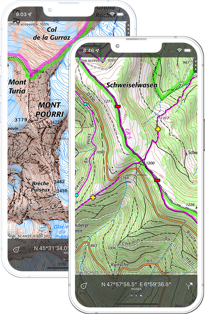
US topo 1:24,000
Official USGS topographic map of the USA at 1:24,000 scale — the 7.5-minute series.
Pricing
One-time purchaseUSD 4.99 one-time purchase, free lifetime updates included
USD 4.99

US aerial
High-resolution aerial and satellite imagery of the USA from USGS.
Pricing
One-time purchaseUSD 4.99 one-time purchase, free lifetime updates included
USD 4.99

US aerial topo
USGS aerial imagery with topo overlay for the USA.
Pricing
One-time purchaseUSD 4.99 one-time purchase, free lifetime updates included
USD 4.99
Where to hike in USA
The USA offers the John Muir Trail, Grand Canyon Rim-to-Rim, Appalachian Trail, Pacific Crest Trail and the national parks of the West.
The most spectacular gorge on Earth — the Rim-to-Rim trail and Bright Angel descent.
Half Dome, El Capitan and the John Muir Trail through the High Sierra.
The 3,500 km thru-hike from Georgia to Maine through 14 states.
Dramatic glacier-carved peaks above Jackson Hole — the Teton Crest Trail.
Slot canyon walks and the Angels Landing chain trail in southern Utah.
The most heavily glaciated peak in the contiguous USA at 4,392 m — the Wonderland Trail.
The 4,265 km trail from Mexico to Canada through California, Oregon and Washington.
Going-to-the-Sun Road hiking — Highline Trail above the Continental Divide.