
Topographic map of Finland on your iPhone, Android phone and Apple Watch


Topographic map of Finland
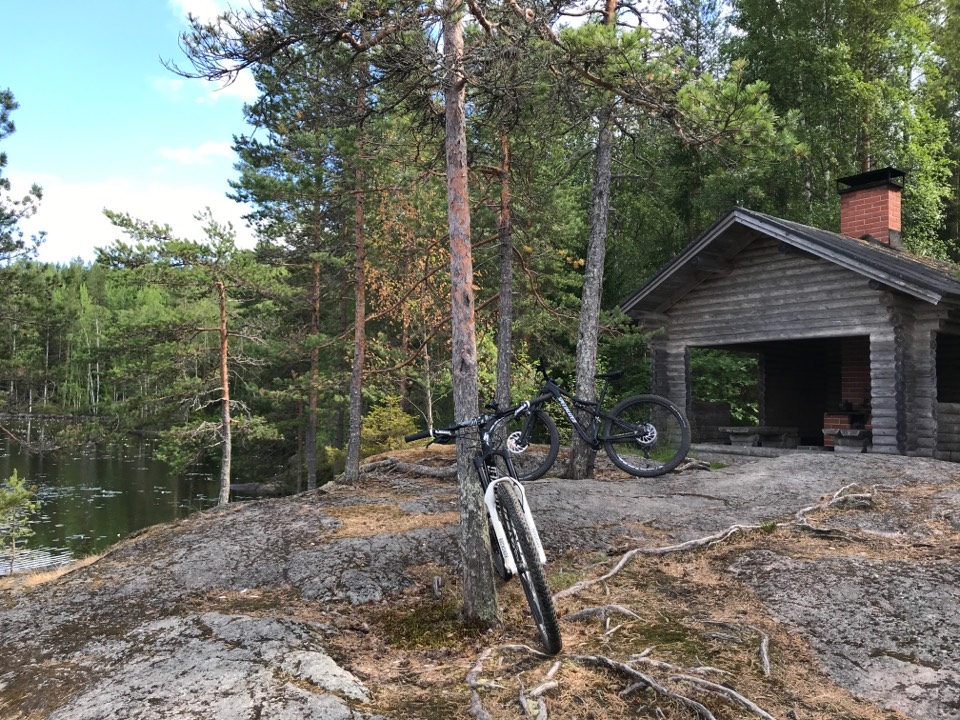
Topo GPS has topographic maps of Finland from NLS Finland. Finland offers epic wilderness hiking, thousands of lakes and the iconic national parks of Lapland.
Download once, use anywhere — no signal needed.
See your exact position on the map as you move.
Record hikes, export GPX and share your tracks.

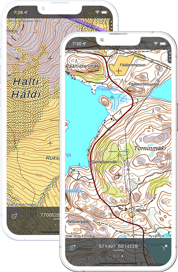
Basic map 1:20,000
Official Finnish topographic map at 1:20,000 scale from NLS Finland.
Pricing
One-time purchase€3.99 one-time purchase, free lifetime updates included
€3.99
Finland 1:50,000
Finnish topographic map at 1:50,000 scale from NLS Finland.
Pricing
One-time purchase€2.99 one-time purchase, free lifetime updates included
€2.99
Where to hike in Finland
Finland offers the Karhunkierros bear trail, the Lapland fells, midnight sun hiking in Urho Kekkonen and the rugged forest trails of Koli.
The Bear Trail — Finland’s most famous 80 km hiking route through canyons and forests in Oulanka.
Finland’s largest national park — fell landscapes and reindeer herds.
Finland’s highest peak at 1,324 m — a remote fell summit in northwest Lapland.
Ancient forest national park just 30 km from Helsinki.
Rolling forested hills above Lake Pielinen — the most romantic national landscape in Finland.
Wild lake and cliff landscape — canoe routes and suspension bridge trails.
Finland’s third largest park — fell tops above the tree line.
Flat granite archipelago between Finland and Sweden.